
swisstopo – wissen wohin
Das Bundesamt für Landestopografie swisstopo ist das Geoinformationszentrum der Schweiz. Bei uns dreht sich alles - oder fast alles - um Geodaten. Wir teilen dieses Wissen auf offene, transparente und wiederverwendbare Weise, damit es für die Bevölkerung, Unternehmen oder Behörden zugänglich ist.
Und was suchen Sie?

Wählen Sie Ihr Profil
Aktuell
Im Fokus

100 Jahre Flugdienst swisstopo 1926–2026
Um die Schweiz anhand von Luftbildern zu vermessen, gründete das Bundesamt für Landestopografie swisstopo im Jahr 1926 einen eigenen Flugdienst. Er erstellte die Grundlagen für Karten, den Grundbuchplan und Fotopläne, die unser Bild der Schweiz massgeblich geprägt haben und es immer noch tun.

Tipps & Tricks gefragt?
Die häufigsten Fragen zur swisstopo-App

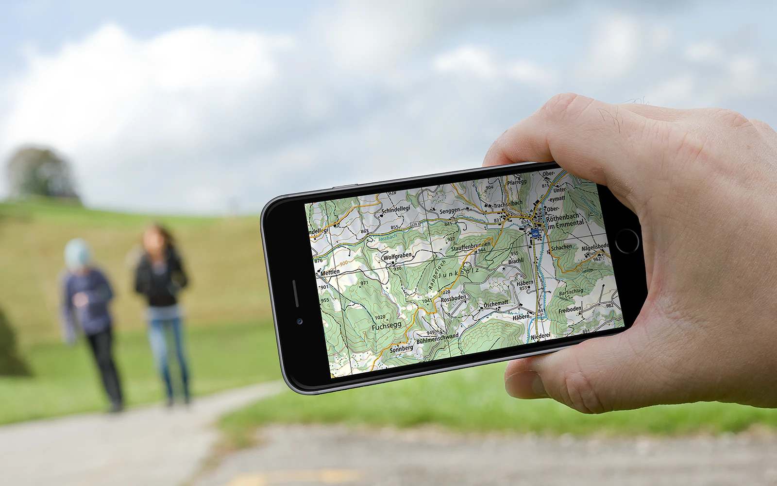
Base Map: Mit der Karte interagieren
Die Base Map ist eine interaktive Karte, die in der swisstopo-App verfügbar ist. Entdecken Sie ihre Inhalte und Funktionalitäten.

Kartenviewer map.geo.admin.ch
Entdecken Sie die swisstopo-Karten und Geodaten bequem auf dem Bildschirm. Messen Sie Distanzen und Flächen, vergleichen Sie aktuelle und historische Luftbilder oder fügen Sie eine Zeichnung hinzu. Das Ergebnis können Sie ausdrucken oder mit Ihren Freunden teilen.
Koordinaten
Wie teilen Sie jemandem Ihren Standort mit? In der Regel geben Sie eine Adresse an oder beschreiben die Umgebung. Mit Hilfe von Koordinaten können Sie die Lage eines Punktes im Gelände auf Zentimeter genau angeben. Nachfolgend wird beschrieben, was Koordinaten sind und wie sie entstehen.
Veranstaltungen
Newsletter
Sie erhalten regelmässig einen Newsletter mit Informationen zu neuen und aktualisierten Produkten, Veranstaltungen und wichtigen Neuigkeiten des Bundesamtes für Landestopografie swisstopo.
Seftigenstrasse 264
3084 Wabern