
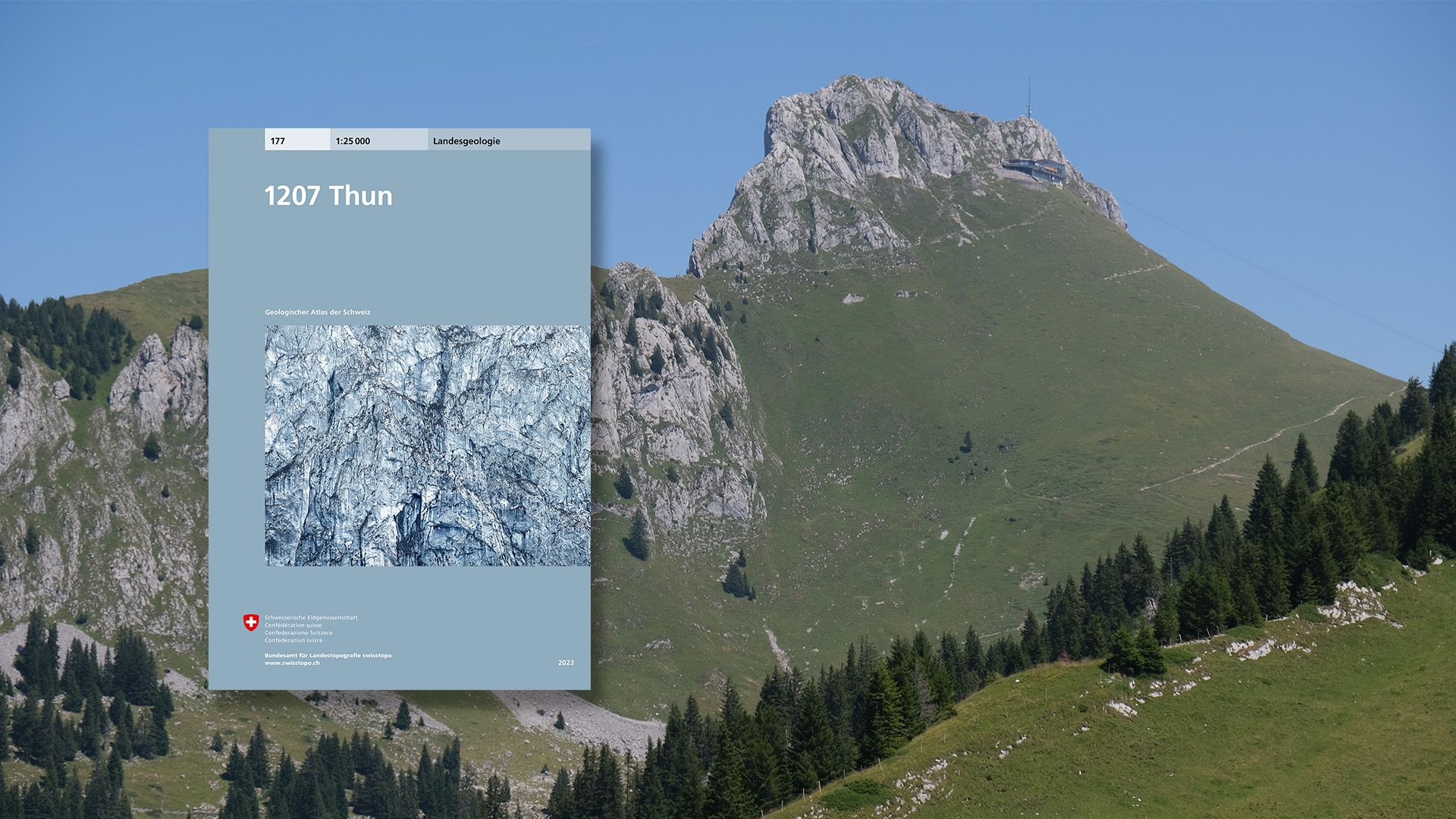
A new map of the Geological Atlas of Switzerland 1:25 000
Sheet 177 Thun illustrates the differing geological structure of the Alpine margins on each side of Lake Thun and the Aare Valley: to the west, the remarkable Stockhorn chain and the landslide-prone formations of the Gurnigel region; to the east, the thick conglomerate layers between the Zulg Valley and Oberhofen.
Federal Office of Topography swisstopo
Department Communication and Web
Seftigenstrasse 264
3084 Wabern
Seftigenstrasse 264
3084 Wabern