
Migration of scanned aerial and terrestrial images for direct download completed
The migration of more than 360’000 images to the STAC infrastructure has been completed to allow, among other things, direct downloading. The aerial and terrestrial images are also accessible on the map viewer of the federal geoportal.
In relation to the announcement of 06.12.2023, the migration of scanned images is now complete.
These images are contained in the following STAC collections and geoservices layers:
- «aerial images swisstopo b/w», technical name «ch.swisstopo.lubis-luftbilder_schwarzweiss»
- «aerial images swisstopo colour», technical name «ch.swisstopo.lubis-luftbilder_farbe»
- «aerial images swisstopo IR», technical name «ch.swisstopo.lubis-luftbilder_infrarot»
- «aerial images swisstopo oblique», technical name «ch.swisstopo.lubis-luftbilder_schraegaufnahmen»
- «terrestrial images swisstopo», technical name «ch.swisstopo.lubis-terrestrische_aufnahmen»
The metadata for these collections, complete with geometry, attributes and download links for each image, are available in geopackage files that can be downloaded from these links:
- Aerial images swisstopo b/w
- Aerial images swisstopo colour
- Aerial images swisstopo IR
- Aerial images swisstopo oblique
- Terrestrial images swisstopo
Metadata update status: 13.11.2024.
These metadata are not yet updated automatically.
Access to Data
The map viewer of the federal geoportal map.geo.admin.ch is the
main platform for viewing swisstopo images. This migration led to the interruption of the service that displayed aerial images in a separate window. Now, by clicking on the preview in the object information popup, or on the various links displayed, you can directly download the aerial image (Cloud Optimized GeoTIFF - COG format), the metadata with the orientation elements (csv format) and, if available, the orthophoto (COG format).
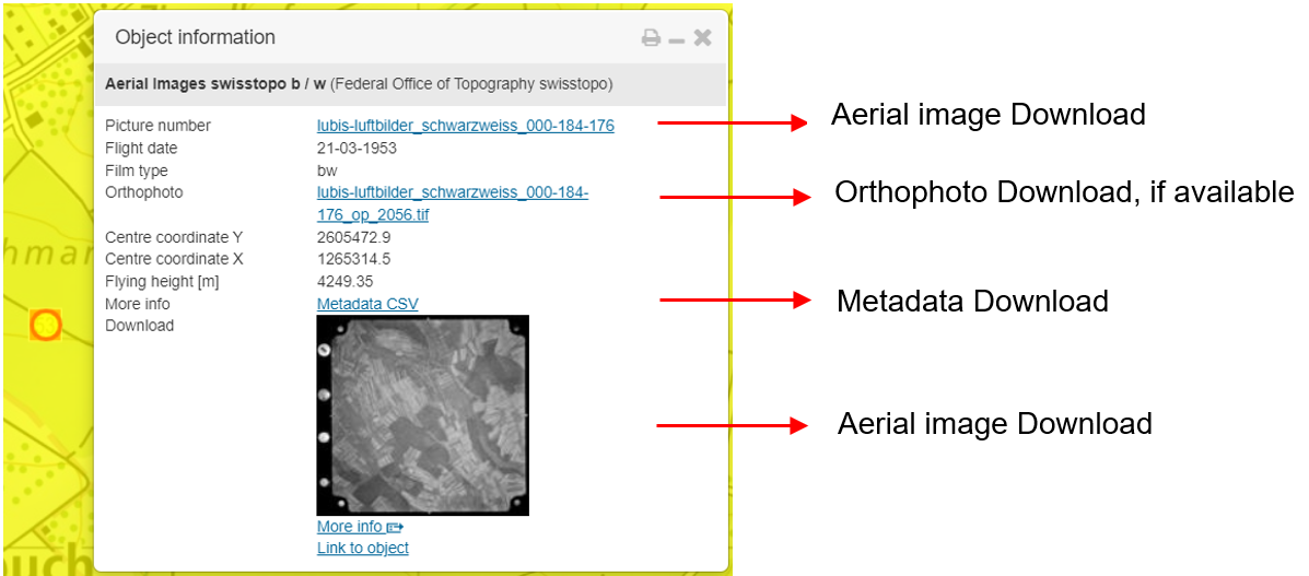
The COG format allows images and orthophotos to be integrated immediately into GIS software or online viewers that support this format.
Data download is also possible via the STAC API of the federal geographic data infrastructure. Instructions for using this API are available on the website.
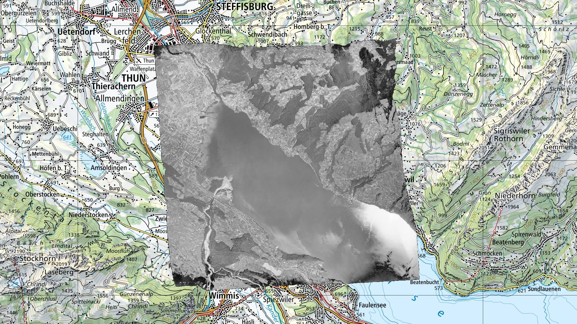
The STAC Browser interface allows for a simpler examination of all data contained in the STAC download solution, such as black and white aerial images.
Free Use
Aerial images can be used freely, like all other swisstopo data. Terms of use are described here.
Outlook
All future scanned aerial images from swisstopo will be directly integrated into the download infrastructure.
Furthermore, as part of the development of the federal geographic data infrastructure, it is planned to soon be able to visualize aerial images directly in the de www.map.geo.admin.ch map window.
Federal Office of Topography swisstopo
Seftigenstrasse 264
3084 Wabern