Aerial Photographs
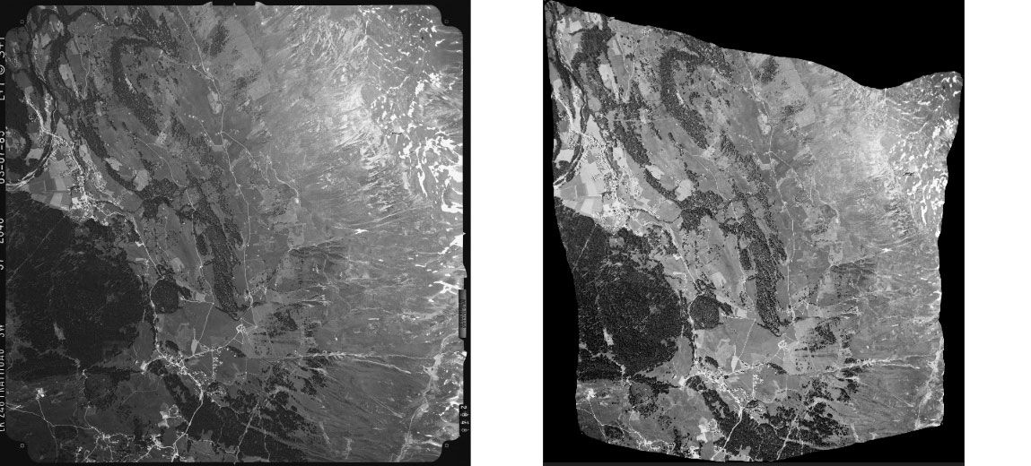
Aerial photographs are views of the landscape photographed from aircraft with analogue cameras.

Scanned analogue images
Aerial photographs are analogue images that are scanned and are provided exclusively in digital form. You can find detailed information about the aerial photographs under Image collection. With the LUBIS Viewer application, you can search, display and download all aerial image which are registered in swisstopo’s LUBIS aerial imagery information system.
Analogue aerial photographs of the entire country are available for the years up to and including 2010. You can find more recent photographs from 2005 onwards in the digital image strips product.
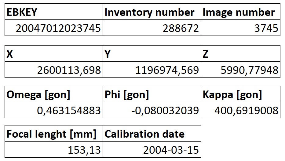
Most of the aerial photographs in swisstopo’s image collection come with orientation elements and a single-image orthophoto. You can find out whether these are available by looking at the additional information for your chosen aerial image in the LUBIS Viewer.
Depending on availability, the product “aerial images” includes the following data:
- Scanned aerial image
- Metadata sheet with orientation elements
- Single-image orthophoto
Applications
- As a basis for studies of the development of landscapes and housing
- For nature and environmental research purposes
- As a basis for planning and development
- For the identification of contaminated sites
- To provide a time-series of images
- For general documentation
- As a wall decoration or an attractive gift
Additional information
Index
Federal Office of Topography swisstopo
Seftigenstrasse 264
3084 Wabern


