
Data science applied to geodata
Methods for collecting, entering and analysing data with a spatial reference are evolving rapidly. However, it is not easy for public administrations to gain access to the results of research. As innovation project manager, Roxane Pott is head of the Swiss Territorial Data Lab (STDL) team. Together with her team she promotes a collaborative way of innovation.

The STDL was established in 2020 in order to respond to the difficulty experienced by public administrations in gaining access to innovation. This initiative was financed via the Swiss Geoinformation Strategy. Conceived as a kind of sandbox, the aim of the STDL is to enable public administrations to resolve certain of their problems through the application of data science.
The project selection criteria are clearly defined, explains Roxane Pott. «Projects have to address a public administration’s current need and also be of interest to other authorities in Switzerland. This means that the developed solution can then be replicated in the future. In addition, projects must be realisable with controlled resources, i.e. two persons over a period of 6 to 8 months.» The STDL does not deliver a product, but rather a prototype, i.e. a source code and a methodology. This can then be developed by the public administration itself or via an external company – always with the support of the STDL. This is why all the results of the STDL are freely accessible.
Promoting collective innovation
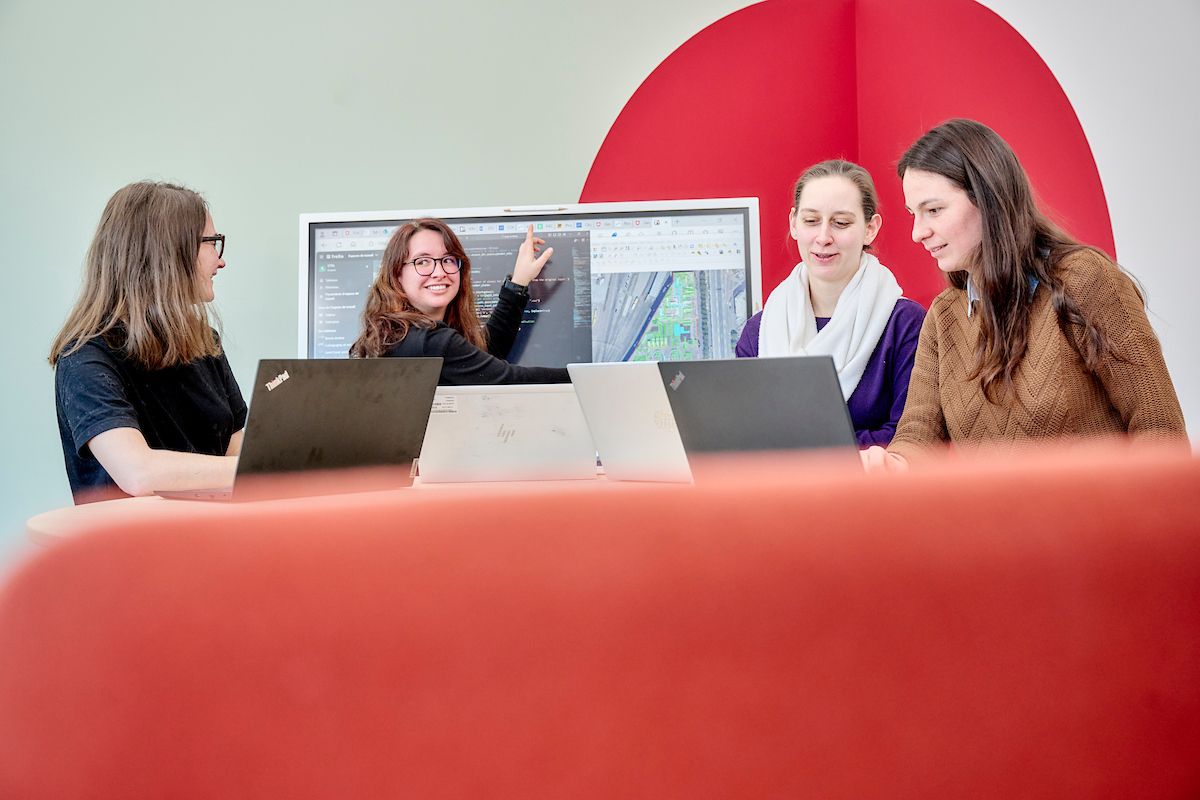
«And once a project has been accepted, that’s where my team of data scientists steps in,» says Roxane Pott. She is leading the team of data scientists at the STDL at the operational level. «I’ve been working for swisstopo for three years – and almost as long for the STDL. My team has expanded and simultaneously gained in expertise. Thanks to the collaborative and empirical spirit at the STDL, we are able to work together to test specific solutions. We learn from every project we are involved in.»
Furthermore, swisstopo is actively engaged in the STDL by placing time and personnel at its disposal. «I have been able to form a team from in-house resources and work together with external partners on a mandate basis. We are a tightly knit team of four data scientists and work together daily.» As she explains, the progressive increase in expertise and strengthening of the team has also had other effects. «Today there are more of us – and we have become more visible. Even if my colleagues work for partner companies, they have their offices at swisstopo. This enables us to make our solutions known internally,» she points out. She attaches particular importance to this aspect, because swisstopo is one of the beneficiaries of the STDL projects.
New ways to foster the use of geodata
The STDL makes comprehensive use of swisstopo’s data, including LiDAR (light detection and ranging) data, orthophotos, national maps, etc. This enables it to show new ways of enhancing the value of the data. At present, a project is being implemented together with the canton of Fribourg concerning automatic ground segmentation. The objective here is to identify tools capable of quantifying the permeabilisation of soils. This study is also of interest to the Federal Office for the Environment, the Federal Office for Spatial Development, the Federal Statistical Office and even the French National Institute of Geographic and Forest Information (IGN). Our aim is to be able to automatically identify locations where there is available ground in line with the Federal Ordinance Relating to Impacts on the Soil. And to accomplish, this we will be using swisstopo’s geodata,” adds Roxane Pott.
For another project that is being implemented for the cantons of Geneva and Zurich, the data scientists are utilising aerial images and LiDAR point clouds produced by swisstopo in order to develop the automatic processing of data relating to vegetated roof systems. «In these projects, we frequently push the boundaries of IT services. We utilise enormous quantities of data. Accessing SWISSIMAGE RS throughout Switzerland calls for 55 TB of data and the task of transferring a substantial volume of data. Here we have to discuss ways of finding other realisable solutions. This forces us to reflect and look for suitable new methods.»
Working on geodata and utilising innovative tools in order to respond to specific problems, in 6 to 8 months, is highly challenging!
Contributing towards the continuous improvement of swisstopo
For Roxane Pott, the challenge is to enable swisstopo to directly benefit from its participation in the STDL by improving certain of its processes. She cites the following two examples: «We found a method for automatically detecting the surfaces of roads in the topographic landscape model. Collecting this information was previously an extremely time-consuming process. We found a way to automate this process, and thus to free up time for the acquisition of other data.» The topographic landscape model is the key component for the production of geodata at the national level. Every day, more than 10,000 changes are carried out.
Every improvement simplifies the tasks of the operators. Roxane Pott adds, «We also came up with practical solutions regarding detection of mineral extraction sites. An algorithm simplifies input into the topographic landscape model. And for geologists, we deployed a kind of time machine that enables them to go back in time and trace the evolution of these sites.»
Strengthening interactions with the cantons
Finally, the STDL enables swisstopo to strengthen its ties with the cantons. Thanks to its flexible and cooperative method of operation, the STDL involves a variety of partners – and the cantons are strongly represented. Roxane Pott welcomes this capacity to strengthen existing networks: «Recently, during a project with the swisstopo LiDAR team, we realised that the solutions could interest the cantons of Neuchâtel and Geneva, so we included them in the discussions. These specialists know one another, but we noticed that discussions were initiated outside of this specific topic.»
To date, the STDL has responded to specific problems of nine cantons, the Federal Statistical Office and swisstopo. It is now entering a phase of replication and practical implementation of its projects. This offers a certain degree of satisfaction for Roxane Pott and her colleagues, but also gives rise to new questions. The STDL promotes new collaborative working methods based on data science and deep learning: are public administrations ready to adopt these new working methods? By demonstrating that its methodology functions, the STDL is paving the way for them to do so.
Portrait

Open source and cooperation
Additional content

Focus on women
Women have been working in technical professions, geoinformatics and, namely, the field of geoinformation for a long time now. So we choose to turn our attention to the women in our federal office.
Federal Office of Topography swisstopo
Seftigenstrasse 264
3084 Wabern