
The difference between roads and tracks
National maps feature various types of paths – not all are suitable for every adventure. Learn how to identify and distinguish roads and paths on a map to choose the best route for your hike.
We have produced a short video about this. A young couple plans their hike using a swisstopo national map. Watch how they use the symbols for roads and tracks to plan their excursion perfectly.
Elisa and Oliver plan their hike with the help of the National Map and make optimal use of the symbols of roads and tracks.
Tracks and paths
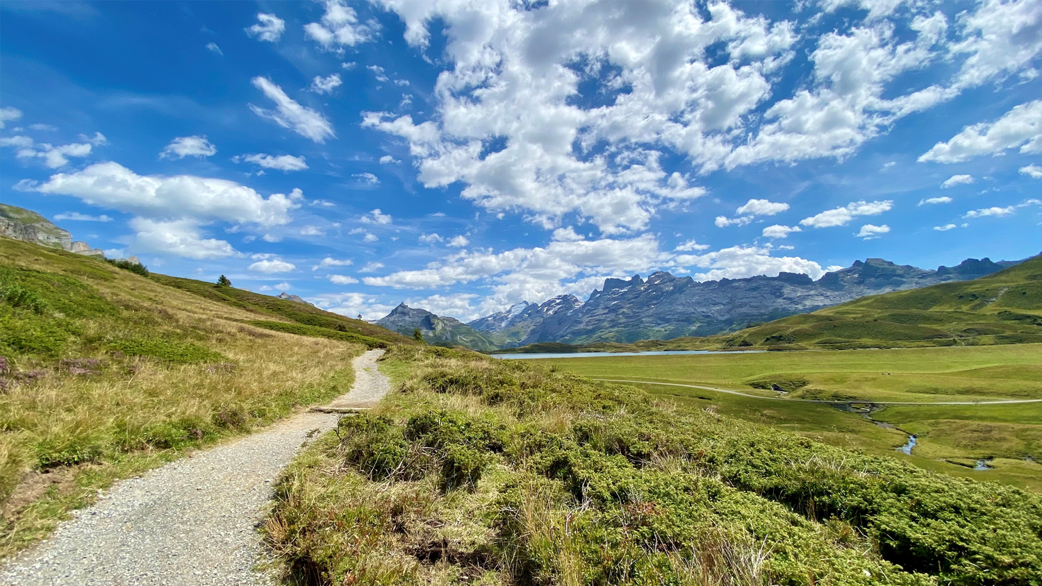
Narrow tracks, depicted by a thin black line, lead you deep into nature, far from traffic and noise. Wider tracks are somewhat more comfortable, and the different representations on the map allow you to distinguish between paths that are not accessible by vehicles and those that are. Learn more about the precise description of path symbols and their meanings!


Two parallel lines: This map symbol indicates a path with a hard surface, suitable for families with prams or buggies.
Solid lines: These paths have a natural surface and are perfect for enjoyable walks. Walking side by side is no problem due to their width of at least two metres. This allows you to stroll and hike comfortably with friends.
Dashed lines: These paths are not suitable for vehicles and are thus ideal for avid hikers! Shorter dashes indicate narrower paths. Sturdy footwear and a bit of fitness are recommended!
Roads
Roads are the larger, more reliable connections and, according to the swisstopo legend, are between three and ten metres wide. They are shown in black on the national map. Just as for tracks, a distinction is made between hard and natural surfaces. Which road is best for your trip?


Dashed lines: No traffic and plenty of space thanks to a minimum width of three metres are the advantages of these roads. An excellent choice for your walk or hike.
Solid lines: These are natural-surfaced roads which may also be used by vehicles. Planning a cycling tour and don’t mind riding on gravel roads? Then this route is suitable for you.
Two parallel lines: This symbol represents asphalt, cobblestone, and other hard-surfaced roads on the national map. If the lines are close together, the road is narrow and can also be used on foot. Wider lines symbolise wider roads suitable to travel along by car, motorcycle, or bike.
Dotted parallel lines represent roads of at least six metres in width with a natural surface.
Transport routes for motorcycles and cars
Coloured routes – orange, yellow or light red – are intended for fast traffic and are used by motorcyclists and car drivers. Find out what each colour marking means.


Orange: This colour marks motorways and expressways. You can tell the difference on the map by the central line: if a central line is shown, it is a motorway; if not, it is an expressway. On site, these routes are marked with green signs.
Light red and yellow: These are main roads, which are marked on site with blue place-name signs and direction signs. Motorcyclists and car drivers are well served here. Cyclists are better off using a road marked in white due to the traffic.
With this knowledge, you can plan your hikes and trips even better. Discover the variety of paths and roads on your map and enjoy your next outing to the fullest!
Index
Map reading is in!
Map reading is not only a useful skill for all outdoor enthusiasts but also helpful for planning. With a bit of practice and the right information, you can organise your trips even better and impress your friends with your expertise. Incidentally, our famous Swiss national maps are among the most detailed and accurate in the world. By the way: it doesn’t matter whether you use the swisstopo map on your smartphone or as a paper map, as the legend stays consistent.
Would you like to know more? Further information can be found in the legend (also called the “key”) for all swisstopo maps Map reading | swisstopo online shop (admin.ch)
Federal Office of Topography swisstopo
Seftigenstrasse 264
3084 Wabern