
Dübendorf - Flight Service
The “Golden 1920s” was a great time for topographers too, as the engineers began, literally, to take off.
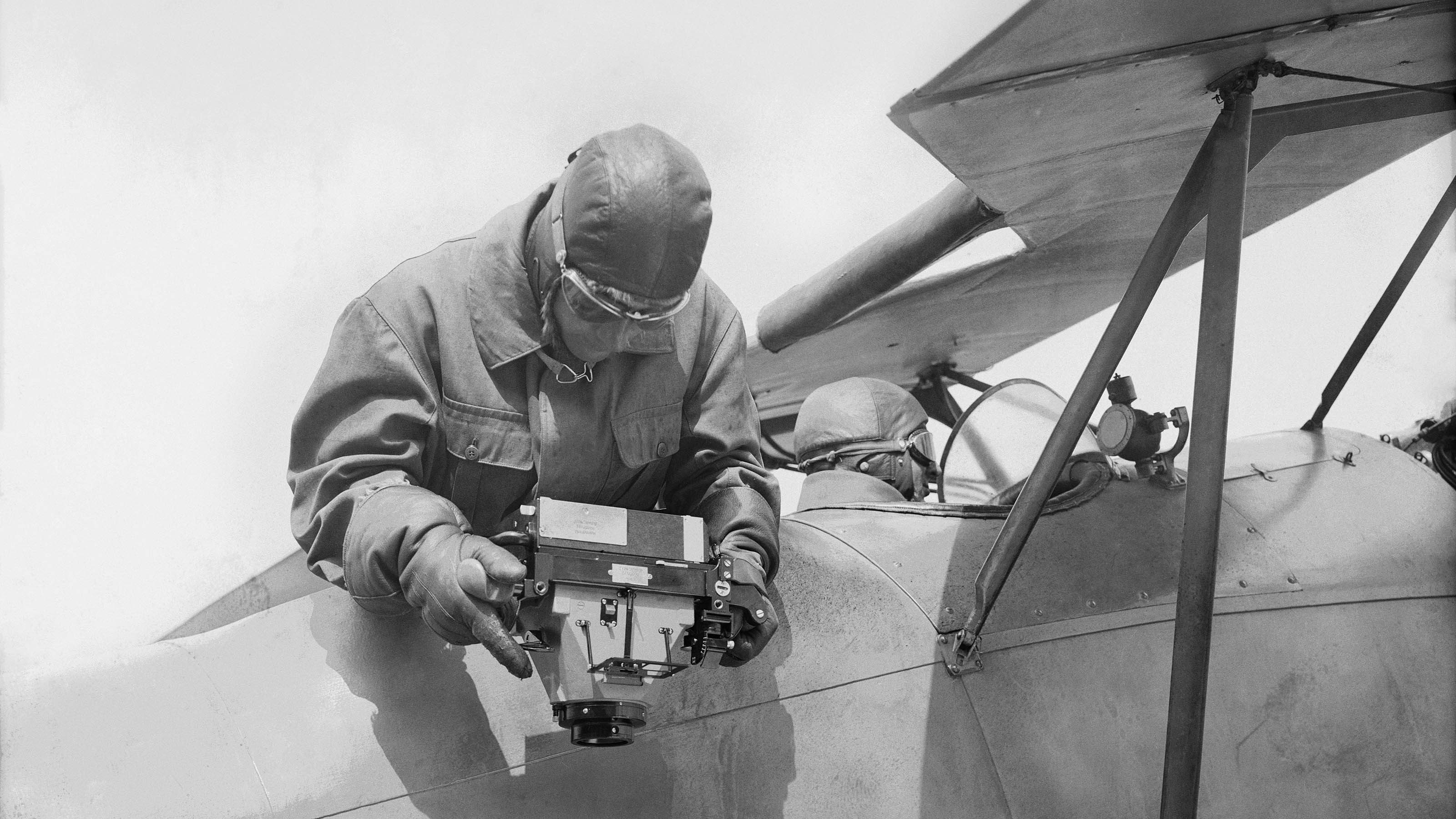
The first (unsuccessful) tests were carried out in 1913 already using a tethered balloon in the Münsingen-Belp region. The second attempt took place 10 years later. On 16 October 1923, the then head of the L+T topography section asked the Dübendorf airfield management to “grant approval for the use of your aircraft, cameras, pilots and observers, with both the undersigned and an engineer as passengers”. The collaboration with Dübendorf began, but until the 1950s the aircraft took off from the airfield at Thun.
Then in 1927 also the Federal Directorate of Cadastral Surveying carried out its first tests. In 1929, it acquired its first aircraft. Because of the different photographic requirements with larger image sizes and consequently lower flight altitudes, it had to meet different criteria.
Initially, the activities of the pilots and camera operators were not without risk, and several fatal accidents occurred.
On 14 October 1927 both the pilot and the engineer lost their lives when Zepp LZ CII crashed. However, the camera – the first in the range produced by recently established company, Wild Heerbrugg – was retrieved from the wreckage of the completely destroyed aircraft.
Federal Office of Topography swisstopo
Seftigenstrasse 264
3084 Wabern