Open print view

swipos-INFRA

swipos-INFRA enables the real-time integration of local monitoring networks into the homogeneous AGNES coordinate frame. The joint evaluation of the locally recorded measurement data and the measurements of the AGNES stations allows to verify the stability of local reference stations as well as to determine the displacements of object points.
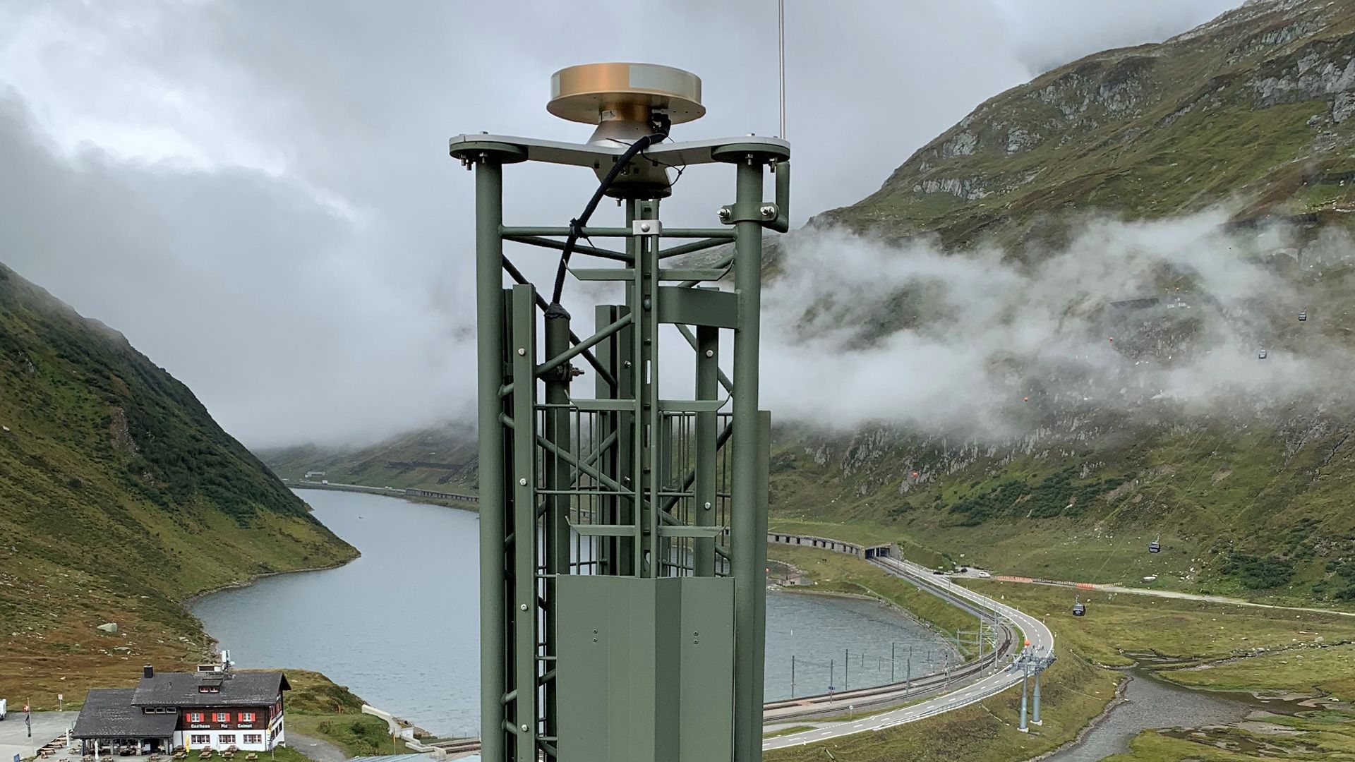
swipos-INFRA is used for monitoring of slides, glaciers or the built environment. On the left you see the AGNES station Oberalp, on the right a visualization of visible GNSS satellites.
Using swipos-INFRA to embed AGNES stations in real-time calculations

Coverage

swipos-INFRA is available throughout Switzerland. For any given location, the average distance to the nearest AGNES station is approximately 30 km.

Equipment

To use swipos-INFRA, an internet connection is required for obtaining the AGNES data streams from the so-called NTRIP caster. Furthermore, a real-time capable geodetic evaluation software is required for the calculation of the network solution. Corresponding software packages are offered by almost all GNSS receiver manufacturers.

Alternatively, the data streams can be read in using a so-called NTRIP client and saved locally in RINEX format. These files can then be processed together with the data of the receivers on the object points in post-processing.

Technical details


Server

tpp.swipos.ch

Port

8090

Protocol

NTRIP 2 (with TLS)

Mountpoints

XXXX_RTCM

XXXX_RAW


With XXXX = AGNES station code

The station abbreviations and station names of all AGNES stations can be found at PNAC.

Data stream

Format

Comment

Station name_RTCM

RTCM 3.2 MSM5

Satellite systems: GPS/GLO/BDS/GAL

Data streams without antenna corrections (phase centre)

Station name_RAW

RT27

Proprietary Trimble data format

Satellite systems: GPS/GLO/BDS/GAL

Data streams without antenna corrections (phase centre)

  • The achievable measurement accuracy depends on the hardware and software used, the measurement duration and the distance to the AGNES station used.
  • The measurement accuracy can vary in time, location and due to atmospheric influences.


Federal Office of Topography swisstopo Seftigenstrasse 264
P.O. Box
3084 Wabern
Tel.
+41 58 469 01 11

E-mail


Opening hours

Monday to Thursday
7.45 to 11.45 a.m.
1.30 to 5 p.m.
Friday
7.45 to 11.45 a.m.
1.30 to 4 p.m.


Technical support

Phone: +41 58 469 01 21
E-mail


Administration

Questions concerning registration, orders, billing:
E-mail

Federal Office of Topography swisstopo

Seftigenstrasse 264
P.O. Box
3084 Wabern

Show map