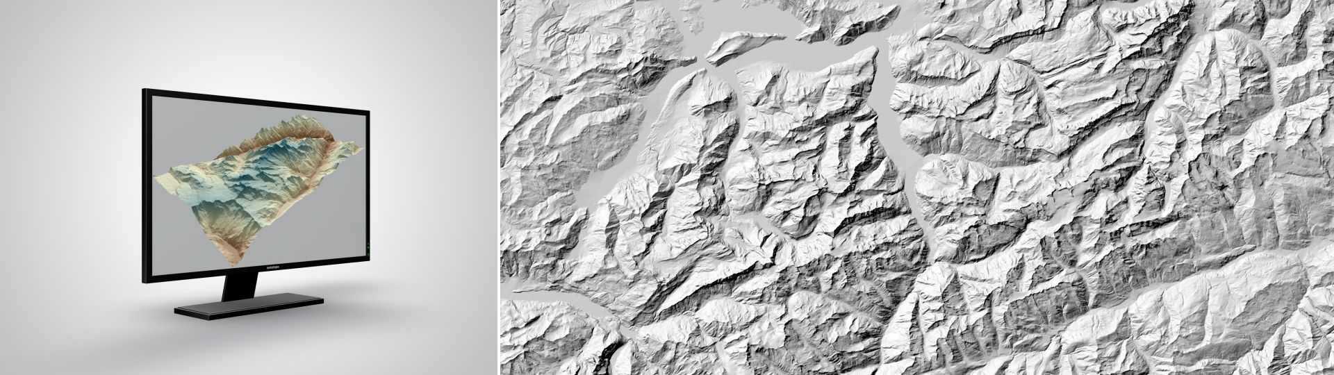
Digital height model DHM25 is a set of data representing the 3D form of the earth’s surface without vegetation and buildings. It is essentially based on the 1:25'000 Swiss national map.
The digital height model of Switzerland
DHM25 can be used wherever computations of the topography of the earth’s surface are required. In other words, it is a basic dataset for geographic information systems. For example, it can be used for making calculations of terrain sections, simulating avalanches, constructing terrain models, carrying out visibility studies, planning telecommunication antennas or visualisations of landscapes. The range of potential uses is very broad.
DHM25 has been derived from the 1:25,000 national map and basically reflects the latter's accuracy. Comparisons of “model heights" with photogrammetric measurements show an average deviation of 1.5 m for the Central Plateau and the Jura, 2 m for the Pre-Alps and the Ticino, and 3 to 8 m for the Alps.
Other publications concerning the height models are only available in German and French. Please select your preferred language in the navigation bar to view the desired document.
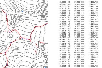
The sample data show their type and format. They are free of charge and may be used for test purposes only. It is not permitted to include them in a product.