
DHM25 / 200m
Digital height model DHM25 with 200 m grid is a set of data representing the 3D form of the earth’s surface without vegetation and buildings. It is essentially based on the 1:25'000 Swiss national map.
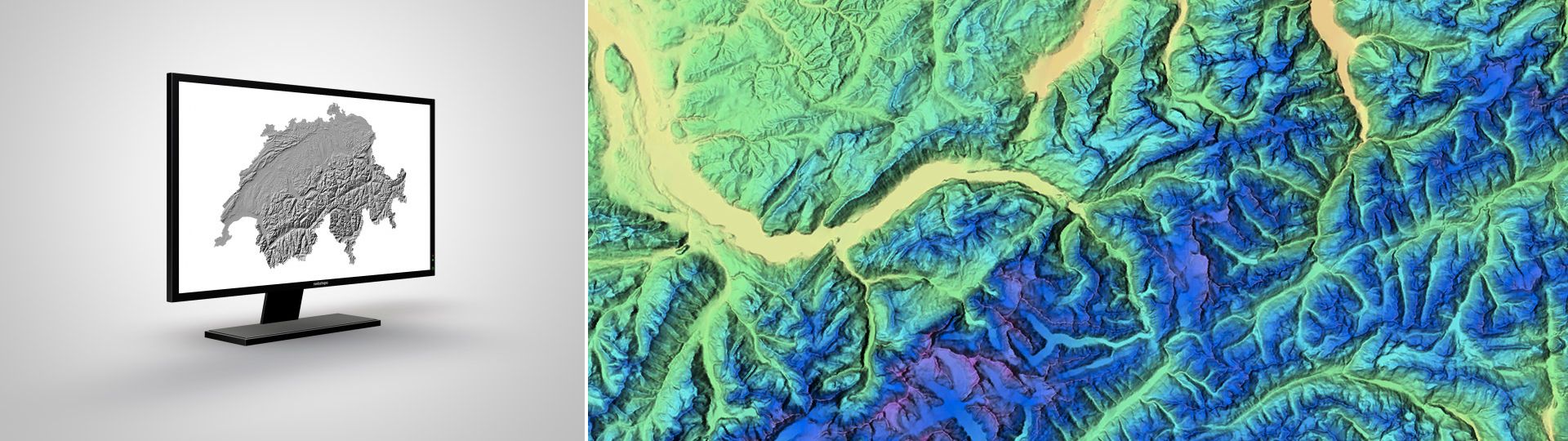
The light version of the digital height model of Switzerland.
Additional information
DHM25 / 200m - Download
Index
Federal Office of Topography swisstopo
Topography - Geodata Distribution
Seftigenstrasse 264
3084 Wabern
Seftigenstrasse 264
3084 Wabern