
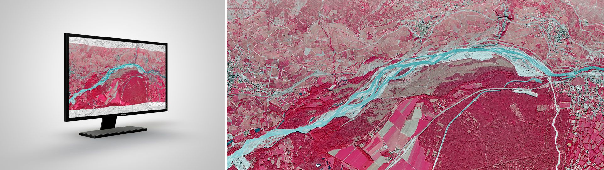
SWISSIMAGE RS
SWISSIMAGE RS contains an unequalled wealth of information in our “image” product range for the years between 2005 and 2025. Bringing together the 4 spectral bands: near infrared, red, green and blue, these orthophotos provide basic data for many professional applications.
The orthophotos of Switzerland for remote sensing applications
SWISSIMAGE RS is made of orthorectified image strips with 4 spectral bands: the near infrared, the red, the green and the blue. These strips are divided in several segments. Thanks to a straightforward production chain, these images are produced and delivered in a short interval, between 4 and 6 months after their acquisition. The structure in single orthophotos allows keeping accurate information on the acquisition time and date for all strips.
From 2026 onwards, the “near-infrared” spectral band is included in the SWISSIMAGE product.
Applications
Since vegetation reflects solar radiation mainly in the near infrared spectrum, SWISSIMAGE RS is perfect for environmental studies. Distributed as raw as possible, these orthophotos are suited to numerical computations and give especially accurate results. The wealth of information (4 bands) also makes image classification efficient and allows displaying true-color images (red, green, blue).
Prices and Ordering
The dataset is not available for free download. Please send your orders to geodata@swisstopo.ch who will make an offer for the costs of the provision of the data. To facilitate the order, please specify the area of interest (rectangle in Swiss coordinates, municipality, etc.), the format and, if necessary, the resolution or variant.
Additional information
Index
Federal Office of Topography swisstopo
Seftigenstrasse 264
3084 Wabern