
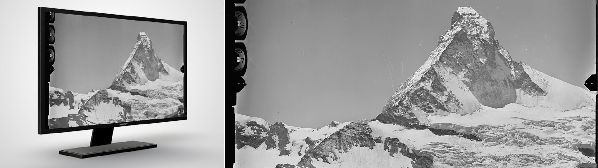
Terrestrial images
Terrestrial images are views of the landscape, taken from the ground.
Terrestrial images
Terrestrial images were taken after World War I and up to the beginning of the 1950s. There is no time series existing
Terrestrial images are analogue images on glass plates that are scanned and are provided exclusively in digital form. You can find detailed information about the terrestrial images under Image collection. With the LUBIS-Viewer application, you can search, display and download all terrestrial images registered in swisstopo’s LUBIS aerial imagery information system.
Depending on availability, the product "terrestrial images" includes the following data:
- Scanned terrestrial image
- Data sheet (csv file, contains information about this one image)
- Expert data sheet (pdf file, contains comprehensive information about the entire station in which this image was recorded)
- Image link to smapshot platform
Applications
- As a basis for studies of the development of landscapes and settlements
- For historical questions
- For nature and environmental research purposes
- For general documentation
- As a wall decoration or an attractive gift
Additional information
Index
Federal Office of Topography swisstopo
Topography - Geodata Distribution
Seftigenstrasse 264
3084 Wabern
Seftigenstrasse 264
3084 Wabern