Open print view

swissTLMRegio

swissTLMRegio is a 2D landscape model, which represents the natural and man-made features of the landscape in vector format.

vector200

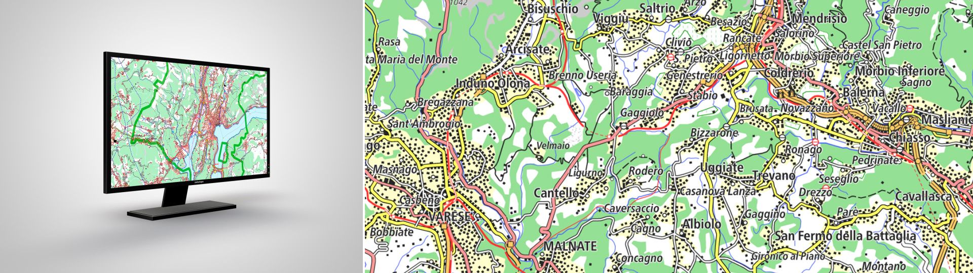
The small-scale landscape model of Switzerland

With its high generalisation grade it is a reference dataset for applications requiring a regional or national overview. swissTLMRegio is divided into topics.

Applications
swissTLMRegio is ideal for a wide range of applications:

  • visual background for orientation in GIS, CAD and navigation systems
  • overlay to terrain models for 3D visualisations and analyses (e.g. DHM25)
  • basis for spatial analyses, simulations, planning or statistics
  • reference data for information systems
  • initial products for publications (e.g. maps, plans, Internet) and multimedia products (e.g. in the fields of Multimedia, Navigation or Geo-marketing)
  • extension of the swissTLM3D perimeter

Terms of use

Additional information

Technical details

Structure

swissTLMRegio describes more than one million objects with their location, shape and neighbourhood connections (topology), as well as the object type and other attributes. It comprises 6 topics, each of which contains one or more feature classes. 

Transport
Roads and railways, other features relating to transport

Hydrography

Rivers and lakes

Landcover


Primary land cover (forests, urban areas, etc.)

Buildings

Generalised individual buildings

Miscellaneous

Various other topics (e.g. POI)

Names

Names

Administrative boundaries

Administrative boundaries as a separate dataset

All topics are available for the entire perimeter. Updates take place in the context of the nationwide revision as well as due to the data of the federal cadastral surveying (boundaries).

File formats

swissTLMRegio is available in the following file formats:

  • ESRI File Geodatabase
  • ESRI Shapefile
  • DXF (please order data by email at geodata@swisstopo.ch)
  • Interlis 2 

Coordinate system

  • LV95 LN02  

Quality

swissTLMRegio exhibits the following quality features: 

  • Full national coverage in homogeneous form and quality
  • Continuous over the whole perimeter
  • Accuracy: 20-60 m (generalisation)
  • Objects hold geometric minimum and maximum dimensions
  • Stable and unambiguous object identification
  • Easy to use in most GIS- and CAD-Systems
  • Different formats

Documents

Almost all publications concerning swissTLMRegio are only available in German and French. Please select your preferred language in the navigation bar to view the desired document.

swissTLMRegio - Access to geodata


Federal Office of Topography swisstopo Seftigenstrasse 264
P.O. Box
3084 Wabern
Tel.
+41 58 469 01 11

E-mail

Federal Office of Topography swisstopo

Seftigenstrasse 264
P.O. Box
3084 Wabern

Show map