Open print view

swissTNE Base

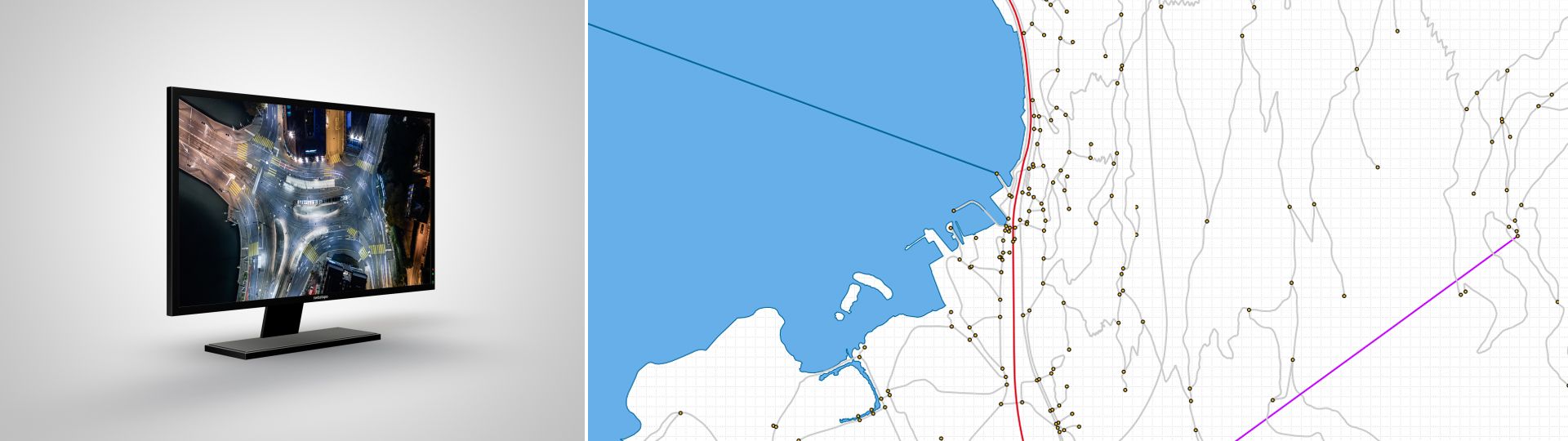
swissTNE Base models the four types of transport axes - railways, roads, cableways and waterways - into a multimodal network. It is the core dataset of the Transportation network CH and the basis on which various sector-specific information can be referenced. With swissTNE Base, specialists have access to central data for the transport and mobility sector.

Produktbild_swissTNE_2

Two specific datasets with focus on transport and mobility

swisstopo offers the base data of the Transportation network CH swissTNE Base as download files. These product serves as a common denominator for referencing and linking spatial data on transport and mobility. In the first version, the dataset is exclusively based on the topographic landscape model TLM. swissTNE Base contains the geometries of the transport axes which are linked to each other in a multimodal manner.

Graphic swissTNE Base
The basic network as a link between a wide range of specific information in the field of transport and mobility.

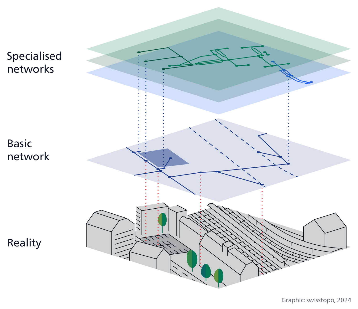
In addition to the basic network, swisstopo provides additional information (e.g., road names, object types, number of lanes, etc.) in the form of a table in the swissTNE BaseTLM product, which is also derived from the topographic landscape model. The dataset does not contain geometries related to transport networks. The specific information can be linked to the geometries of the basic network by means of unique identifiers.

Terms of use

Additional information

Technical details

Structure

The swissTNE Base network consists of three different types of geometry: nodes (points), edges (lines) and surfaces. The geometries are captured in 3D and contain additional information as attributes. Various tables contain information about the historisation, which allows data changes to be traced, and look-up tables containing code-value pairs.

swissTNE BaseTLM contains selected technical information without their corresponding geometries. This information is stored in a main table that contains Relations to the transport networks and the different means of transport. Value-coded tables are attached with the correspondence in several languages. A reference to the swissTNE Base geometries is integrated for each element of the main table.

File formats

swissTNE Base and swissTNE BaseTLM are available in the following file formats:

  • ESRI File Geodatabase
  • GeoPackage

Coordinate system

  • LV95 LN02 

Quality

The swissTNE Base dataset is currently still under development. Although the first edition of the dataset is available throughout the country, it does not yet meet all the final quality requirements. Further developments are planned, particularly with regard to the linking of elements between the transport modes, the modelling of transport surfaces and the level of detail of the network. The data quality is constantly being improved.

Documents

The publications on swissTNE are only available in German and French.  Please select your preferred language in the navigation bar, to view the desired document.

swissTNE - Access to geodata


Federal Office of Topography swisstopo Seftigenstrasse 264
P.O. Box
3084 Wabern
Tel.
+41 58 469 01 11

E-mail

Federal Office of Topography swisstopo

Seftigenstrasse 264
P.O. Box
3084 Wabern

Show map