
Swiss Map Raster 10
Swiss Map Raster 10 is swisstopo’s largest scale topographic map. It stands out for its detailed representation of traffic, settlements, terrain and vegetation as well as its thorough labelling. The contents are supplemented by rock hachures and relief.
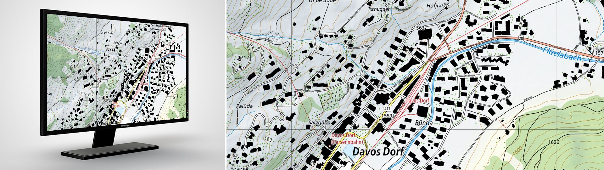
The digital national map in 1:10'000 in raster format
The perimeter of the map covers the national territory of both Switzerland and the Principality of Liechtenstein. Updates are made every year based on the latest version of swisstopo’s topographic landscape model (TLM). Swiss Map Raster 10 is produced in colour and greyscale and is available in the form of geo-referenced TIF data for individual sections of the perimeter. This product, which features a very high standard of cartography, forms the ideal basis for a variety of uses in the public administration and the private economy, as well as in scientific circles and by the general public.
For other formats or variants, please send your orders to geodata@swisstopo.ch who will make an offer for the costs of the provision of the data. To facilitate the order, please specify the area of interest (rectangle in Swiss coordinates, municipality, etc.), the format and, if necessary, the resolution or variant.
Note regarding the 2026 update:
Due transition to a new GIS system for cartographic production (ArcGIS Pro), no comprehensive update of the 1:10,000 national map will be published in 2026. This affects around one-sixth of Switzerland. From 2027 onwards, updates will be available as usual.
Additional information
Swiss Map Raster 10 - Download
Index
Federal Office of Topography swisstopo
Seftigenstrasse 264
3084 Wabern