
Swiss Map Raster 1000
Swiss Map Raster products encompass the entire range of digital national maps in raster format. The data is directly derived from digitally produced map bases and is georeferenced.
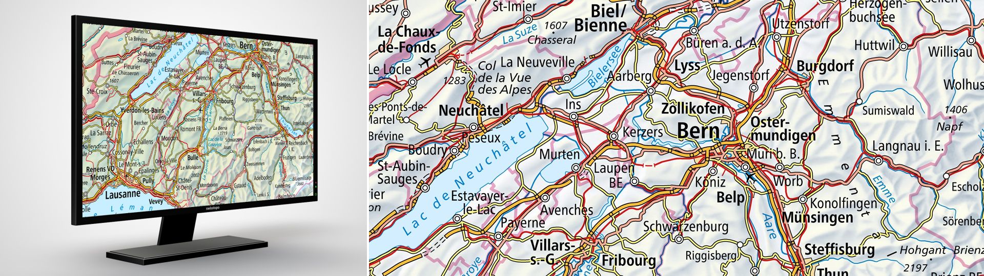
The digital national map in 1:1Million in raster format
Swiss Map Raster are a conversion of the map image into a digital form with no direct bearing on the individual map elements.
Swiss Map Raster pixel maps are ideal for finding background information for a broad variety of screen applications, web and mobile applications and services, as well as for geographic information systems. They can also be used as basic maps for a variety of purposes (digital printing, plots, offset printing, etc.).
Swiss Map Raster products are available free of charge as colour and greyscale combination. For bitmap files, which are available as single thematic layers, please send your orders to geodata@swisstopo.ch who will make an offer for the costs of the provision of the data. To facilitate the order, please specify the area of interest (rectangle in Swiss coordinates, municipality, etc.) and the format.
Additional information
Swiss Map Raster 1000 - Download
Edition: 2025
Index
Federal Office of Topography swisstopo
Seftigenstrasse 264
3084 Wabern