
Swiss Map Vector 1000
Swiss Map Vector 1000 is the Swiss national 1:1'000'000 scale map in vector format. It provides a clear depiction of the main traffic axes, residential areas, bodies of water, summits and borders.
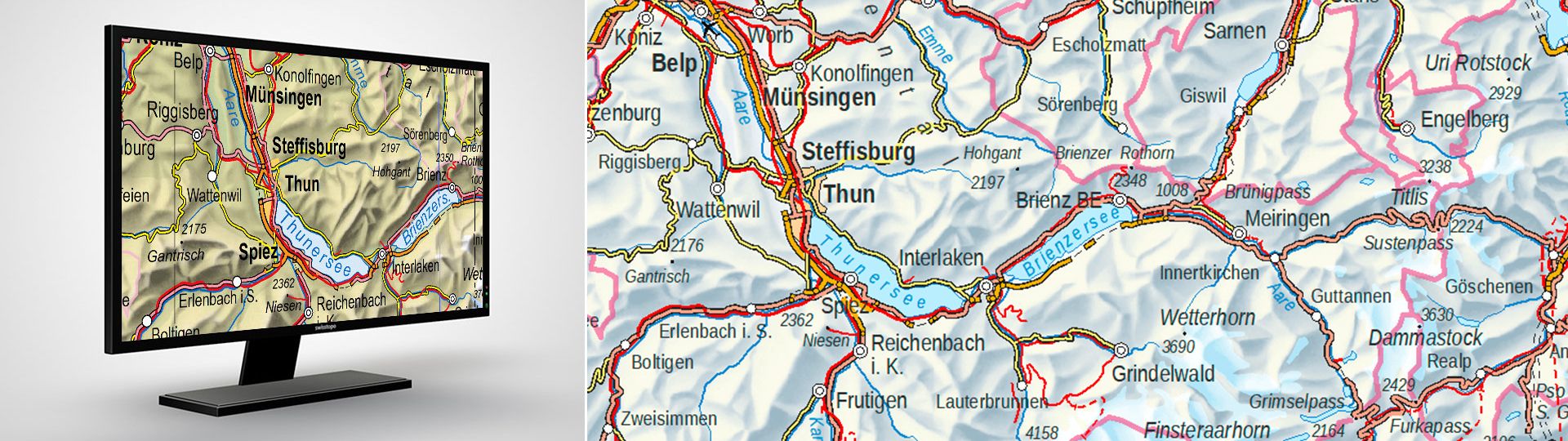
Swiss national vector map 1:1Million
Vector data comes from the digital cartographic model, which is also used for the derivation of printed maps, and the Swiss Map Raster. Contents are structured according to subject matter and can be edited by class or by object. Terrain is depicted using raster data. Relief and hypsometric depictions are available. Switzerland and neighbouring countries are shown from Lyon to Salzburg and from Strasbourg to Genoa.
Your feedback matters to us!
With this short survey, we aim to better understand how you use our Swiss Map Vector products and which requirements are most important to you. Your feedback helps us improve and further develop our products to better meet your needs.
Thank you for taking part!
Uses
- For the development of information systems and use in GIS applications with major demands on cartographic representation and possible personalisation
- As a basis for personalised publications and illustrations in the media
- As a basis for subsequent cartographic developments
Data formats
Swiss Map Vector is available in File-Geodatabase (GDB) and GeoPackage (GPKG) formats. Ideally, it is recommended that the GDB version be used (ESRI ArcMap, from version 10.2.2). For the GeoPackage version, there are support files for depiction similar to national maps in QGIS.
Additional information
Swiss Map Vector 1000 - Download
Edition: 2024
Index
Federal Office of Topography swisstopo
Seftigenstrasse 264
3084 Wabern