
Swiss Map Vector 25
“Swiss Map Vector 25” is the Swiss national 1:25'000 scale map in vector format. It includes all complete and differentiated rail, road and path networks, a detailed representation of residential areas, bodies of water, vegetation and terrains complete with annotations.
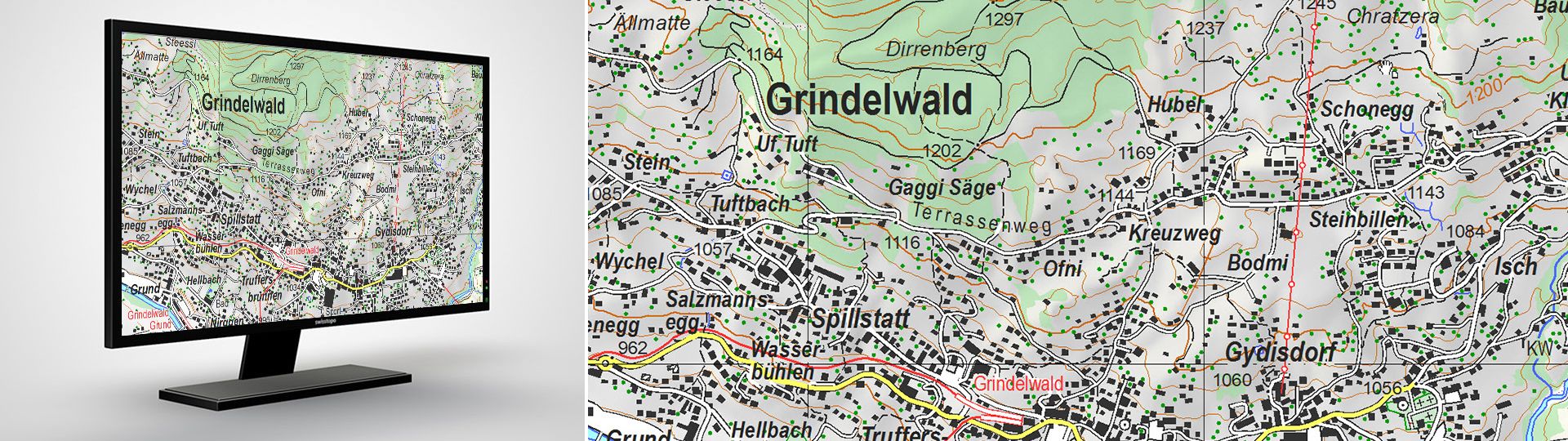
Swiss national vector map 1:25'000
Vector data comes from the digital cartographic model, which is also used for the derivation of printed maps, and the “Swiss Map Raster”. Contents are structured according to subject matter and can be edited by class or by object. Raster data for relief and rock features complete the vector data. The perimeter of the map covers the national territory of both Switzerland and the Principality of Liechtenstein.
Your feedback matters to us!
With this short survey, we aim to better understand how you use our Swiss Map Vector products and which requirements are most important to you. Your feedback helps us improve and further develop our products to better meet your needs.
Thank you for taking part!
Uses
- For the development of information systems and use in GIS applications with major demands on cartographic representation and possible personalisation
- As a basis for personalised publications and illustrations in the media
- As a basis for subsequent cartographic developments
Data formats
Swiss Map Vector 25 is available in the GeoPackage (GPKG) format. Support files are available to provide a Swiss national map-like display in QGIS.
Vector PDF
As an alternative to the GIS formats, the SMV data are also available in a vector PDF (max. size: 210 km2). The map elements are separated according to layers and can be individualised in a graphics programme if required.
Access to data
The data are offered as predefined spatial units for free download. For a deviating unit, please send your orders to geodata@swisstopo.ch who will make an offer for the costs of the provision of the data. To facilitate the order, please specify the area of interest (rectangle in Swiss coordinates, municipality, etc.), the format and, if necessary, the resolution or variant.
Additional information

Swiss Map Vector 25 - Download
Reduce your download time and take part in our survey. Your opinion matters to us!
With this short survey, we aim to better understand how you use our Swiss Map Vector products and which requirements are most important to you. Your feedback helps us improve and further develop our products to better meet your needs.
Thank you for taking part!
Index
Federal Office of Topography swisstopo
Seftigenstrasse 264
3084 Wabern