
Light Base Map
The Light Base Map is a background map to provide a foreground theme with optimal spatial orientation. The graphic design of this web map, based on vector tiles technology, is therefore unobtrusive with reduced content.
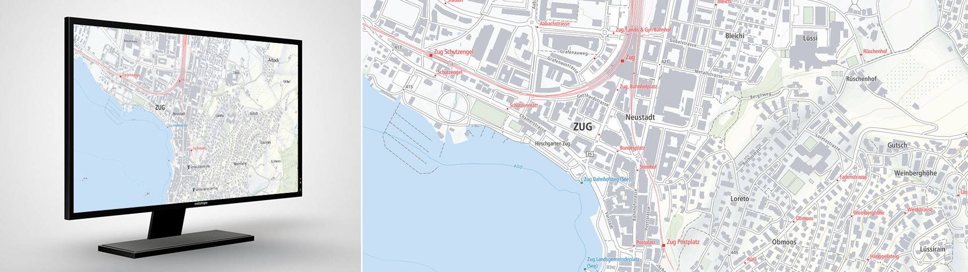
The Light Base Map is a background map to provide a foreground theme with optimal spatial orientation. The graphic design of this web map, based on vector tiles technology, is therefore unobtrusive with reduced content. Due to the applied visualisation technology, the map can be integrated into your own website unchanged or after individual adaptation. The Light Base Map is based on official data: the topographic landscape model, the digital elevation model, the digital cartographic models and the official road directory. Thanks to the additional data integration of OpenStreetMap for foreign countries and the "Web Mercator" global projection system, worldwide coverage is guaranteed.
Light Base Map - «Mapbox Vector Tiles» service
Detailed information on the "Mapbox Vector Tiles" service, with which the web maps can be obtained, can be found at Vector Tiles Service.
Light Base Map in the service preview
Additional information
Federal Office of Topography swisstopo
Seftigenstrasse 264
3084 Wabern