
GEOREF
GEOREF simplifies the amalgamation of geodetic data from different sources and allows full customisation of transformation datasets.
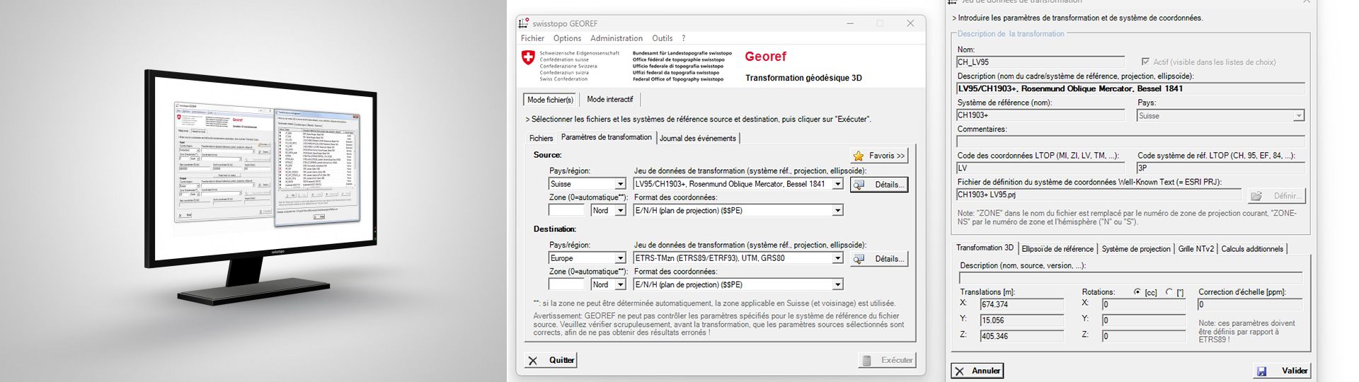
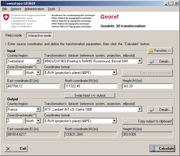
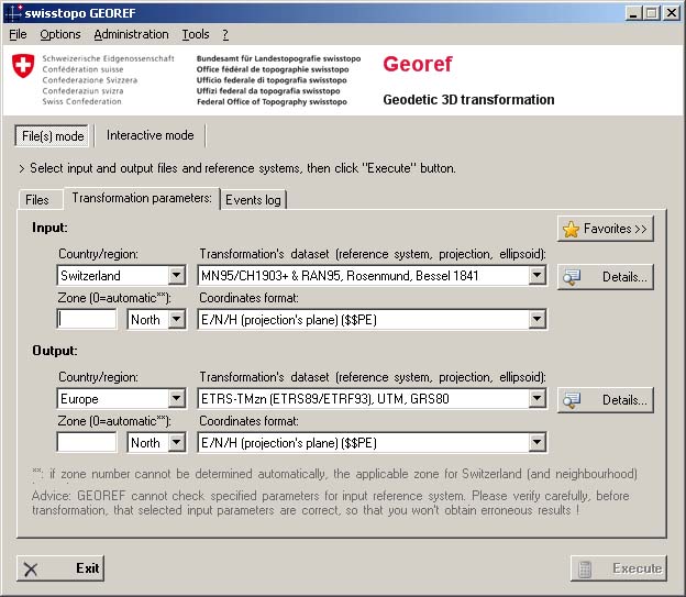
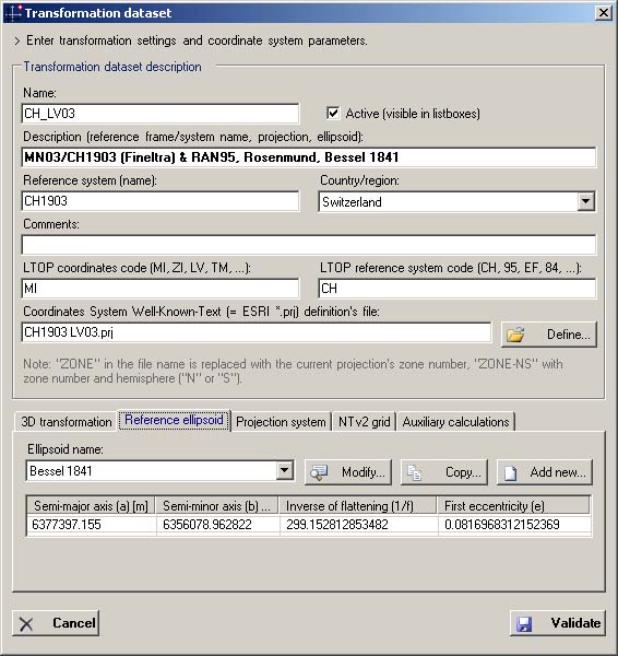
Software for changing between reference systems and map projections for the exchange and migration of data from different sources.
Supported projections
- Transverse (UTM, Gauss-Krüger) and oblique (Rosenmund) Mercator projection
- Conformal and equal area cone projections (Lambert)
- Bonne (equal area cone projection)
Supported file formats
- LTOP (coordinates and measurements)
- ESRI shapefile (including PRJ file)
- AutoCAD DXF
- INTERLIS 1, Adalin, Topobase .K
- Text with separator (e.g. CSV)
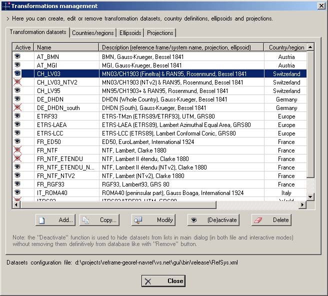
Other features and tools
- Support of NTv2 grids (e.g. NTF RGF93 in France)
- Transformation of the deflections of the vertical components
- Support of the MGRS codes
- Pre- and post processing (eg FINELTRA, CHGEO or HTRANS)
- Protocol generation (*. log)
- Command-line mode (batch / script)
Additional information
Application GEOREF - Download
GEOREF
Full installation package - Version 2.0.235 for Windows
Index
Federal Office of Topography swisstopo
Web Services - Technical support
Seftigenstrasse 264
3084 Wabern
Seftigenstrasse 264
3084 Wabern