
LTOP
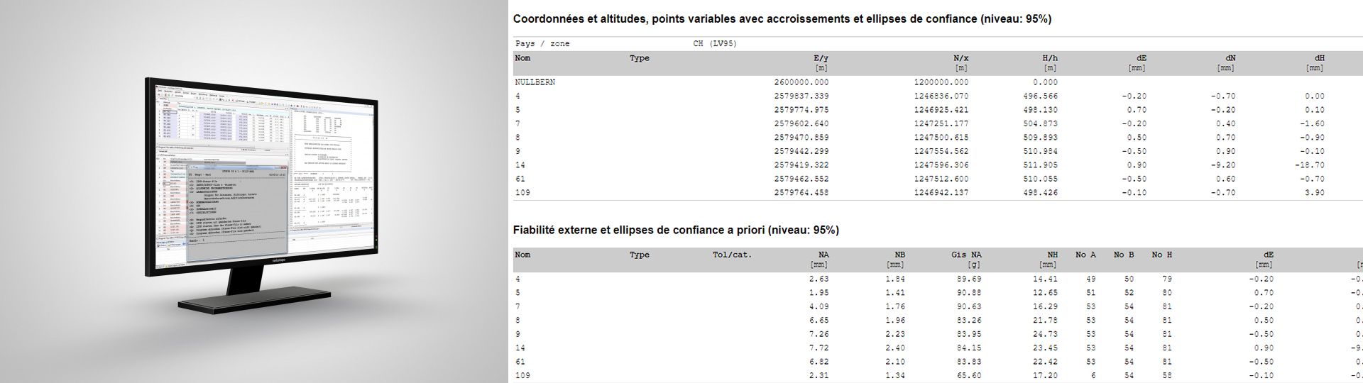
LTOP allows pre-analysis and compensation of polygon networks, triangulation networks, combinations of GNSS observations and terrestrial measurements as well as levelling networks.
Pre-analysis and adjustment software for geodetic networks
LTOP offers several computing facilities and indicators in order to optimise the compensation and detect errors or inaccuracies. The observations can be adjusted by the smallest squares or the robust method.
A new graphical interface has been integrated into GeoSuite, which significantly simplifies the input of parameters for an LTOP calculation.
Possibilities and properties
- Horizontal and vertical adjustments are processed separately (2D+1D)
- Free adjustment, coordinates of the connection points as observations or constraint adjustment
- Calculations based on projected or ellipsoidal coordinates
- For directions, azimuths and distances, up to 80 groups can be defined with individual unknowns of orientation, scale or offset: a-z A-Z 0-9 ! # $ % & * : ; < = > ? @ _ | ~ + -
- Several possible parameter calculations for the integration of GNSS observations
- Strict treatment of accuracy and reliability parameters and required tests for use in the Swiss cadastral survey
Additional information
Link
GeoSuite (LTOP/REFRAME/TRANSINT)
BSD 3-Clause License
Copyright © 2025, swisstopo. All rights reserved.
Redistribution and use in source and binary forms, with or without modification, are permitted provided that the following conditions are met:
- Redistributions of source code must retain the above copyright notice, this list of conditions and the following disclaimer.
- Redistributions in binary form must reproduce the above copyright notice, this list of conditions and the following disclaimer in the documentation and/or other materials provided with the distribution.
- Neither the name of the copyright holder nor the names of its contributors may be used to endorse or promote products derived from this software without specific prior written permission.
THIS SOFTWARE IS PROVIDED BY THE COPYRIGHT HOLDERS AND CONTRIBUTORS “AS IS” AND ANY EXPRESS OR IMPLIED WARRANTIES, INCLUDING, BUT NOT LIMITED TO, THE IMPLIED WARRANTIES OF MERCHANTABILITY AND FITNESS FOR A PARTICULAR PURPOSE ARE DISCLAIMED. IN NO EVENT SHALL THE COPYRIGHT HOLDER OR CONTRIBUTORS BE LIABLE FOR ANY DIRECT, INDIRECT, INCIDENTAL, SPECIAL, EXEMPLARY, OR CONSEQUENTIAL DAMAGES (INCLUDING, BUT NOT LIMITED TO, PROCUREMENT OF SUBSTITUTE GOODS OR SERVICES; LOSS OF USE, DATA, OR PROFITS; OR BUSINESS INTERRUPTION) HOWEVER CAUSED AND ON ANY THEORY OF LIABILITY, WHETHER IN CONTRACT, STRICT LIABILITY, OR TORT (INCLUDING NEGLIGENCE OR OTHERWISE) ARISING IN ANY WAY OUT OF THE USE OF THIS SOFTWARE, EVEN IF ADVISED OF THE POSSIBILITY OF SUCH DAMAGE.
Applications - Download
LTOP
Full installation package - Version 99.6 für Windows (Linux version on request)
Index
Federal Office of Topography swisstopo
Seftigenstrasse 264
3084 Wabern