
Geoservices with swisstopo geodata
Many of swisstopo's geodata can be freely accessed via the geoservices of the Federal Spatial Data Infrastructure (FSDI). The geoservices allow the most up-to-date swisstopo geodata to be consumed online without having to worry about storing and updating the data.
Different types of geoservices are available. Their use does not require prior registration. They are based on standards that allow the interconnection of systems.
Main portrayal services
These services make swisstopo's geodata available online. In many cases they represent a very interesting alternative to downloading the data.
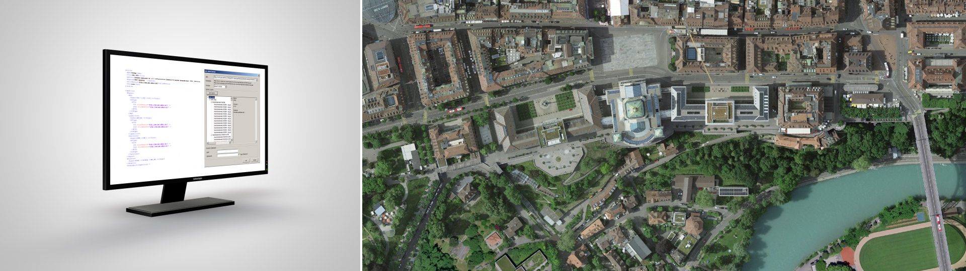
WMS-IFDG
Web Mapping Services containing the public data of the Federal Spatial Data Infrastructure (FSDI). The technical name of the swisstopo layers begins with ch.swisstopo. The WMS service can be easily integrated into common desktop GIS applications.
Access and detailed information
WMTS-IFDG
Web Map Tiling Services which contains the public data of the Federal Spatial Data Infrastructure (FSDI). The technical name of the swisstopo layers begins with ch.swisstopo. The WMTS service can be easily integrated into common desktop GIS applications and is also particularly suitable for publishing geodata on the Internet in raster format.
Access and detailed information
Vector Tiles Service-IFDG
Services based on Vector-Tiles technology. The new Base Map, the Light Base Map and the Imagery Base Map are available through services. The services are intended for publication on the Internet or in mobile applications.
Access and detailed information
Other services
The FSDI offers many other geoservices such as 3D buildings and terrain, geocoding, height queries. The technical description of the services is available in English.
The terms of use of the Federal Spatial Data Infrastructure apply when using the geoservices.
Federal Office of Topography swisstopo
Seftigenstrasse 264
3084 Wabern