
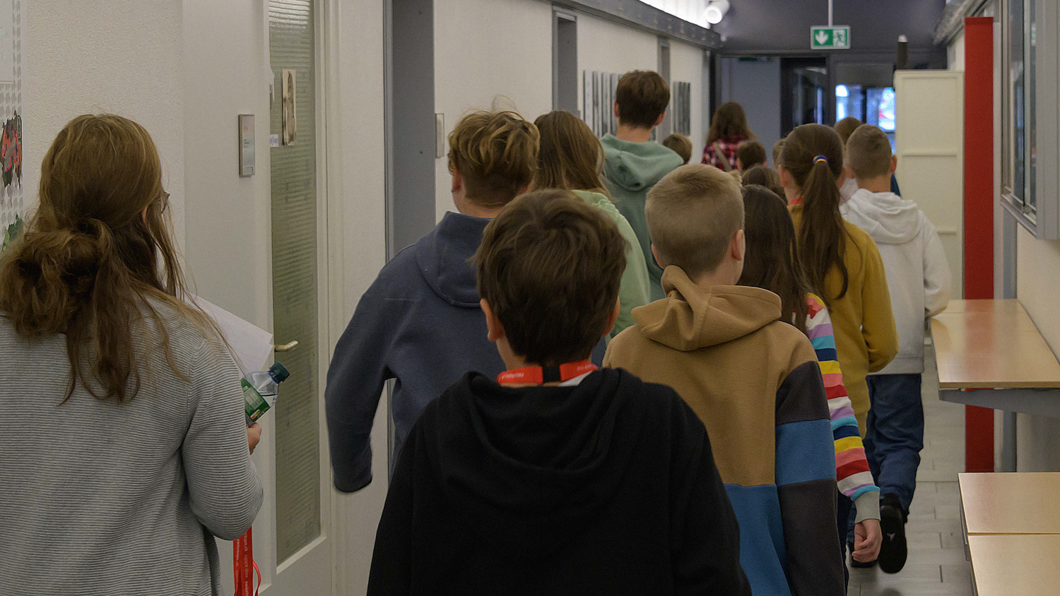
Guided tours of swisstopo
Are you interested in how swisstopo measures and documents the Swiss landscape as well as the ground beneath your feet? Would you like to find out how much work goes into getting a map printed? Do you want to discover more about the Federal Office’s role in official surveying? Or would you like to dive into the fascinating world of geodata? Come and peek behind the scenes of the Federal Office of Topography!

Visit swisstopo as a group
Groups can choose between five tours with different areas of focus. The tours last two to three hours. A group can consist of a minimum of 15 and a maximum of 30 people.

Visit swisstopo as an individual
swisstopo runs tours for individuals. During these tours, you can discover the various processes involved in producing geodata – from land surveying, the recording and processing of aerial images, to the creation of maps and the publication of the resulting products. You will also have the chance to dive interactively into the fascinating world of three-dimensional “3D” geodata using Augmented Reality glasses.
Federal Office of Topography swisstopo
Seftigenstrasse 264
3084 Wabern