
swissSURFACE3D Raster
swissSURFACE3D Raster is a digital surface model (DSM) which represents the earth’s surface including visible and permanent landscape elements such as soil, natural cover, and all sorts of constructive work with the exception of power lines and masts.
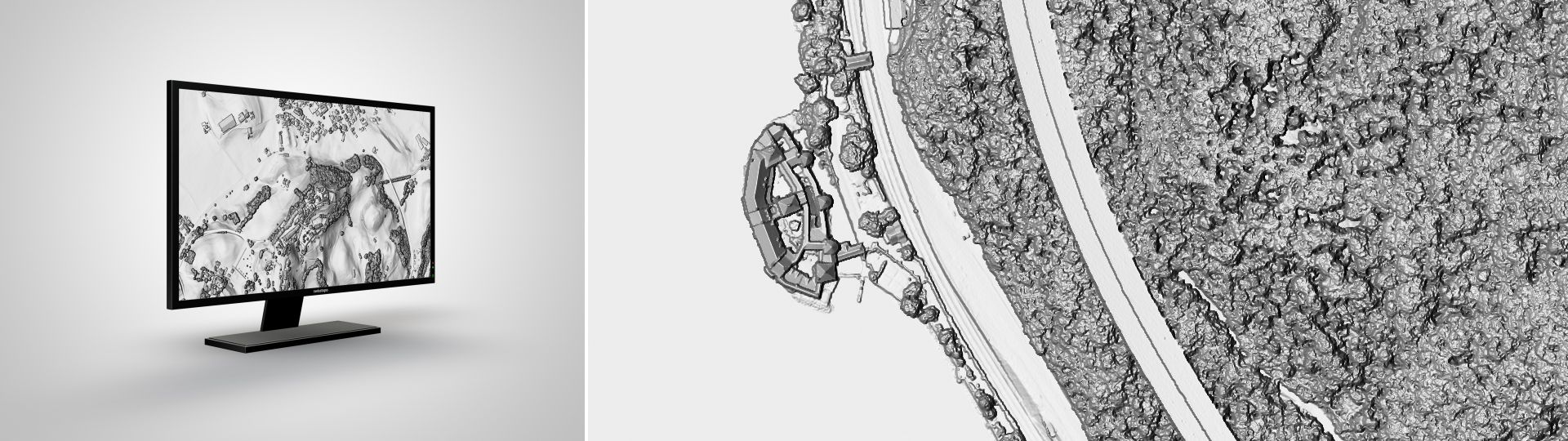
The digital surface model of Switzerland
swissSURFACE3D Raster is derived from airborne LiDAR data of swissSURFACE3D. To model the surface, the following elements (classified LiDAR points) are used:
- soil (class 2)
- vegetation (class 3)
- buildings (class 6)
- bridges / footbridges / viaducts (class 17)
- water (class 9)
To improve the surface representation of large rivers and lakes, watercourse vectors of the topographic landscape model TLM are implemented.
Applications
- Runoff and mass movement models under consideration of vegetation and buildings
- Production of (True)-Orthophotos
- Modelling of the solar energy potential for roofs
- Rendering of 3D-visualisations
- Line-of-sight calculations
- Biomass modelling for forestry
- Canopy height models with swissALTI3D as terrain model
- Disaster analysis (e.g. rock fall or debris flow events)
Additional information
swissSURFACE3D Raster - Download
Index
Federal Office of Topography swisstopo
Topography - Geodata Distribution
Seftigenstrasse 264
3084 Wabern
Seftigenstrasse 264
3084 Wabern