
Hiking Maps
The best map material for your most beautiful hikes shows Switzerland at its best.
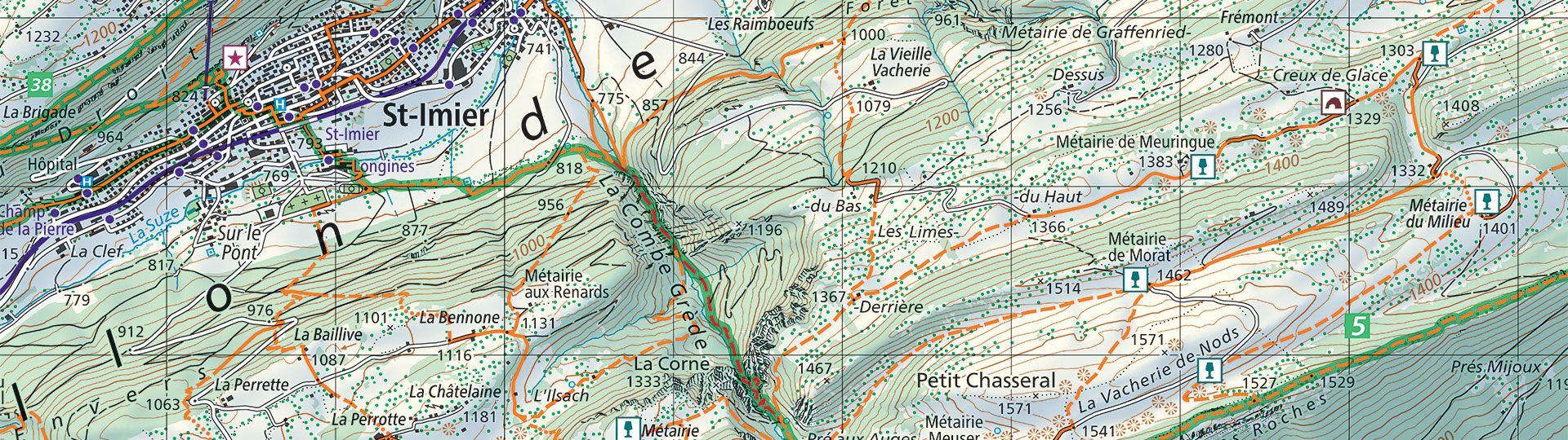
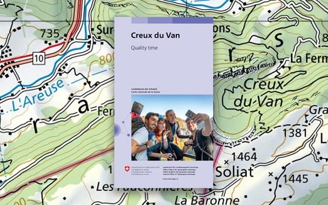
Order the 1:50'000 hiking map as printed version
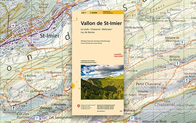
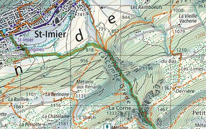
The standard hiking maps depict all marked hiking routes and encompass the entire country.
Order the 1:33'333 hiking map as printed version
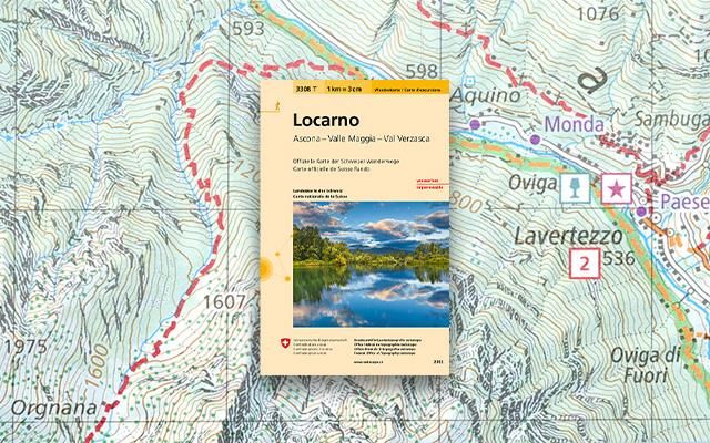
These hiking maps are even easier to read thanks to their larger scale.
Order the hiking maps with Geology as printed version
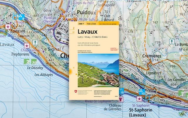
The hiking maps with additional geological information give a unique insight into the geological history of our landscape.
Order the hiking maps with Geology
Order mySwissMap with hiking map
The familiar national maps, the official hiking map or an aerial map made to measure - with mySwissMap you can design your own personal paper map with just a few clicks. Create your own piece of Switzerland!
Order your mySwissMap with hiking map
View swissTLM3D hiking trails online
Discover the swisstopo maps and geodata conveniently on your screen. Measure distances and areas, compare current and historical aerial photos or add a drawing. You can print out the result or share it with your friends.
View swissTLM3D hiking trails in the viewer map.geo.admin.ch
swisstopo app for hikers
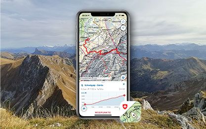
The swisstopo app shows all National Maps from the scale of 1:10'000 to 1:1 million, as well as aerial photographs, aeronautical maps and historical maps covering the whole of Switzerland. The maps are supplemented by additional information relating to public transport, hiking, cycling, snow sports and aviation. In addition to the official routes of the Swiss Hiking Federation, the app also contains SwitzerlandMobility routes.
Index
Map reading
The brochure “Map reading” and the explanation of symbols provide useful information for users of the national maps and for teaching purposes.
You can order the brochure in paper form here: Map reading | swisstopo Online Shop
Federal Office of Topography swisstopo
Division Cartography
Seftigenstrasse 264
3084 Wabern
Seftigenstrasse 264
3084 Wabern