
Aerial photos
Our aerial images are vertical or oblique high-resolution landscape photographs. They contain a great deal of information and are used as a valuable source for identifying dynamic processes, as well as for documentation and planning purposes.
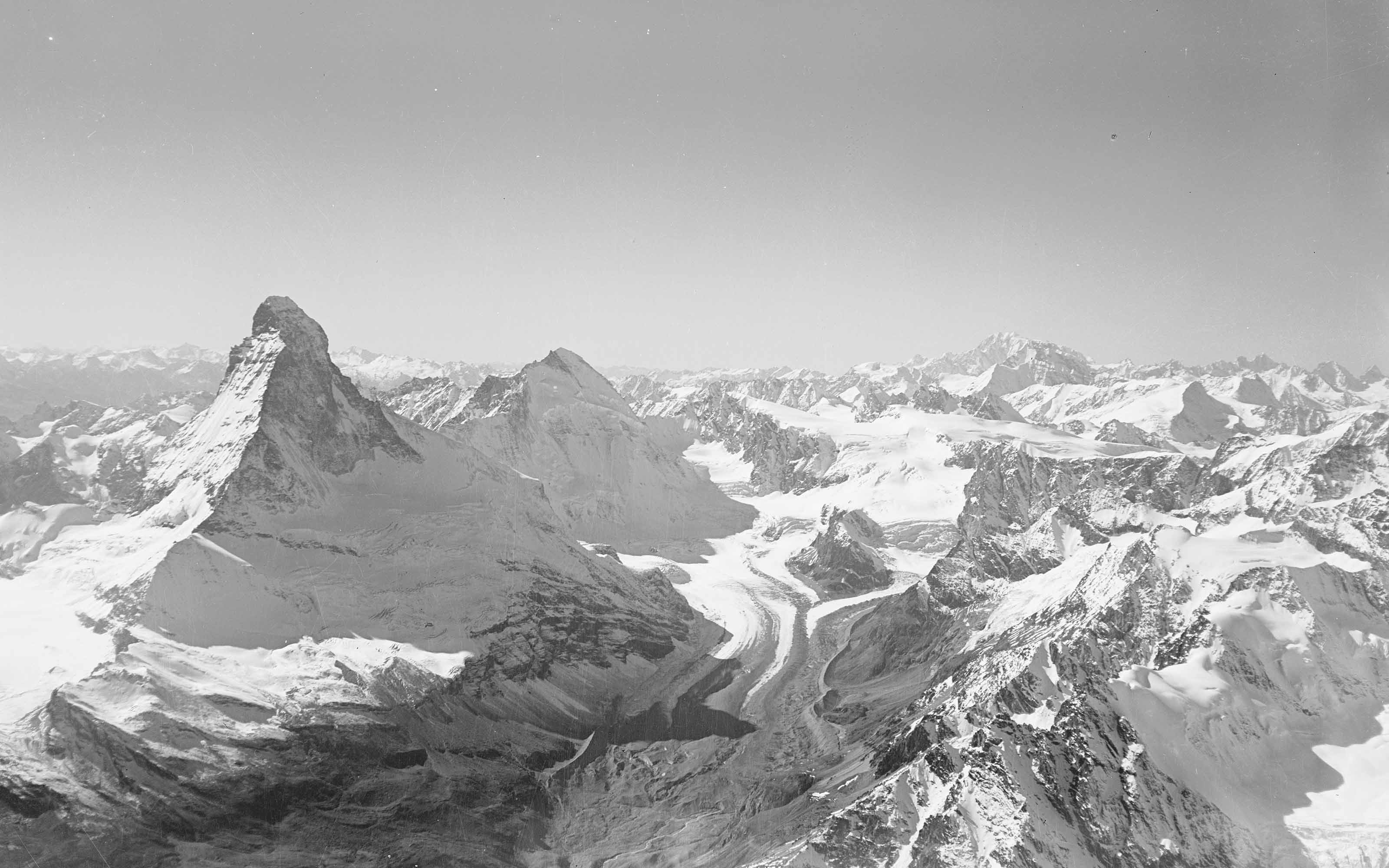
The main purpose of swisstopo’s aerial photographs was to serve as the basis for updating the National Map and producing the SWISSIMAGE orthophoto mosaic. The photos encompass the entire country and were taken at regular intervals.
The scale of the images usually varies between 1:20,000 and 1:30,000. They are available in black and white for the period from 1927 to 2003, and in colour from 1998 to 2010.
One section of the collection contains all the aerial photos that were taken in order to meet the needs of various federal inventories (meadows, moorlands, dry pastures), for monitoring glaciers or documenting natural disasters (storms, floods, avalanches, rockfalls, landslides, etc.), and for a variety of other special requirements. They are available in colour, colour infrared black and white images at scales ranging from 1:3,000 to 1:40,000.
Digital cameras have been used for taking aerial photos since 2008. They scan the terrain in strips. All images are available in digital format only.
Federal Office of Topography swisstopo
Seftigenstrasse 264
3084 Wabern