
Historical Swiss reference systems
In the 19th century – before the introduction of reference system CH1903 for the Swiss national survey – other reference systems and map projections were used, especially for producing the Dufour and Siegfried maps. These parameters are still useful today for analysing historical data. In addition to these two main map series, other special reference systems were developed in the second half of the 19th century, but they will not be dealt with here.
Reference system and map projection of the Dufour Map (CH1840)
As of 1845, the Dufour Map series was published at the scale of 1:100,000. The geodetic bases used for this map series were published by Johannes Eschmann in «Ergebnisse der trigometrischen Vermessungen in der Schweiz» in 1840. The reference ellipsoid was the «Schmidt ellipsoid from 1828» (a = 6376804.37 m, f = 1/302.02, in the original a = 3271773.00 toises, b = 3260940.03 toises). In other sources this is called the «Schumacher» ellipsoid. Its fundamental point was the old observatory in Bern with coordinates from 1836:
Long: 7° 26' 24.75" E (or in the original: 5.670000 gon east of Paris)
Lat: 46° 57' 06.03" N (52.168529 gon)
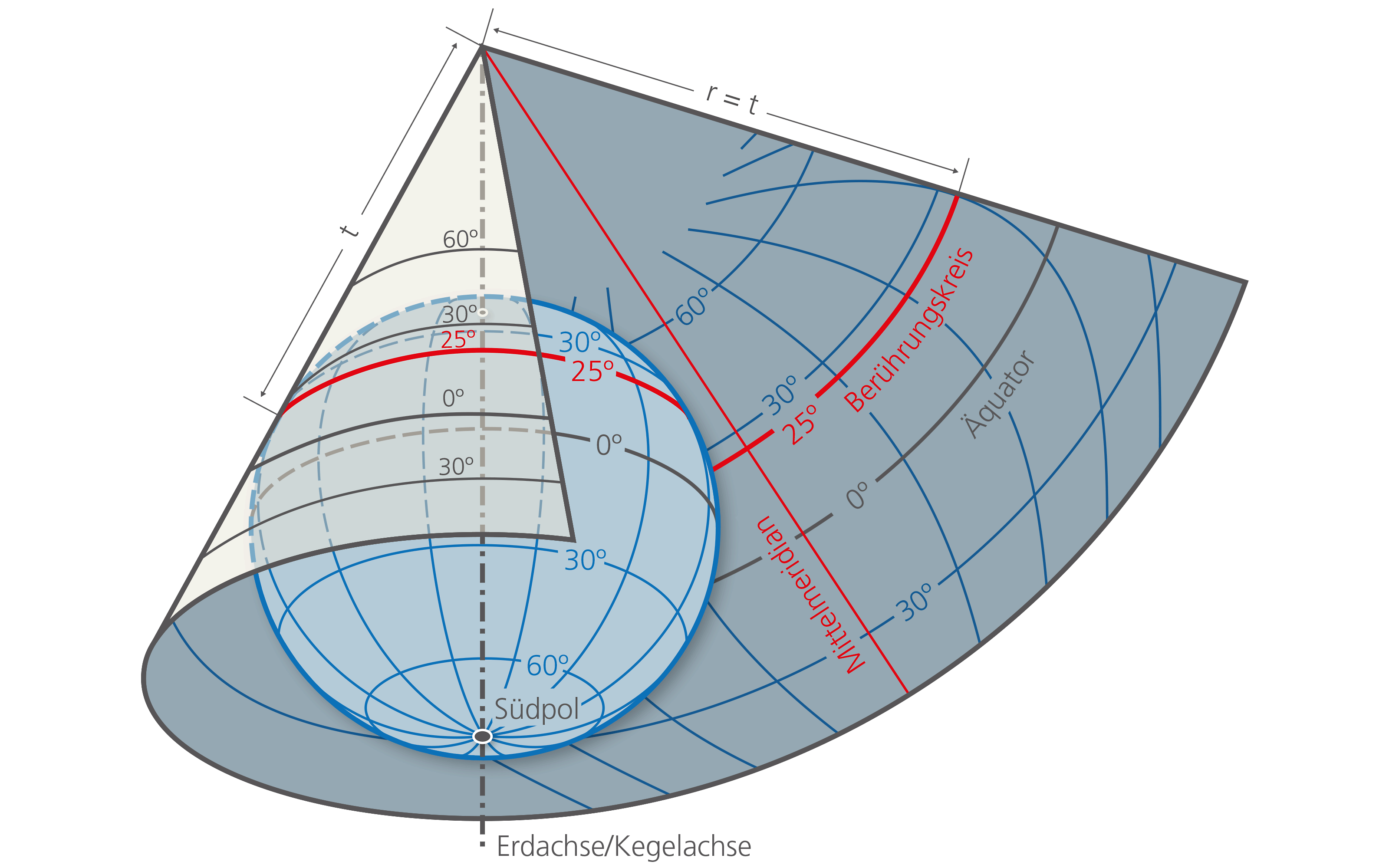
An equal area, untrue conical projection was chosen for the Dufour Map. It is also known as the Bonne projection or modified Flamsteed projection. The coordinates of the fundamental point were assigned the values 0 | 0 as well as 600 000 | 200 000 («false easting | northing»).
The Repère Pierre du Niton was used as the fundamental point for height measurements. Its height was determined by Eschmann in 1840 with 376.2 metres, which was derived from the height of the Chasseral at that time (1609.57 metres).
Reference system and map projection of the Siegfried Map (from 1870)
The Siegfried Map is based on federal legislation dated 18th December 1868, governing the publication and continuation of the topographic survey. The same parameters were used for the geodetic bases as those published in 1840 in «Eschmann's Ergebnissen», i.e. the Schmidt ellipsoid and the Bonne map projection.
Only the height (Repère Pierre du Niton) was determined by Siegfried and changed to 376.86 metres (old height). When this was replaced with 373.6 metres (new height), the heights as well as the contour lines of the Siegfried map remained in the old system.
With effect from 1890, all the older triangulation networks were transformed into the newly completed geographic network which was determined by the Swiss Geodetic Commission and replaced Eschmann's «Triangulation primordiale». This new network was based on the Bessel ellipsoid from 1841, the new geographic latitude 46°57'08.66" of Bern determined in 1869, the 0.021‰ longer Chasseral-Rötifluh prime baseline, and the 1.17" smaller prime azimuth between the observatory Bern and Chasseral. The longitudes were only calculated relative to the meridian in Bern. The map image was not influenced by all these changes. However, all the parallels at the scale of 1:25,000 were shifted to the south by 3.2 to 3.6 millimetres, and the meridians were shifted by a maximum of 1 millimetres outwards from the meridian in Bern. Such nonhomogeneities which developed in time in the geodetic bases as well as in the maps themselves led to the replacement of the Siegfried Map Series in 1935 by the National Map Series.
Links
Federal Office of Topography swisstopo
Seftigenstrasse 264
3084 Wabern