
Landscape memory
swisstopo has been documenting Switzerland’s topographic development for around 175 years. Preserving various geodata and making them available in the form of time series has resulted in a landscape memory of Switzerland that traces all the changes and developments over a lengthy period of time.
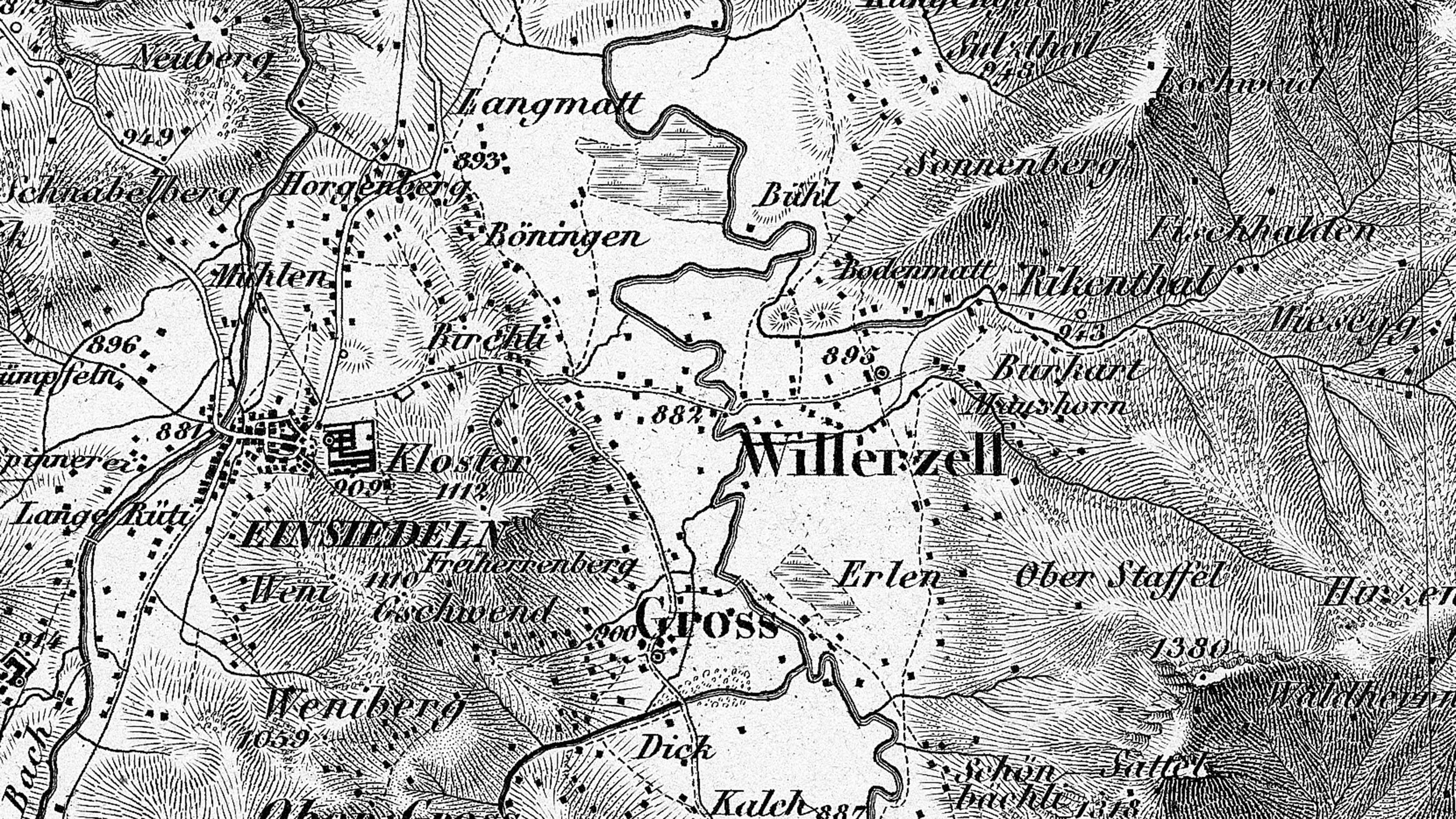
Diversity of the landscape memory
The sets of topographic maps, which have been documenting the changes in the landscape since the 1840s, make a significant contribution towards the landscape memory, as do many other geodata, for example in the form of time series of maps, aerial images and height models. The evolution of the Swiss landscape is being documented both on and beneath the surface.
Forecasting future developments
Based on the documentation of past developments, for example housing development including aspects such as urbanisation and urban sprawl, it is possible to draw conclusions regarding the future development of our living space. In these forecasts it is possible to depict how a given region could look in the future. In this way, future developments can be anticipated in advance so that adaptation measures can be planned at an early stage.
Changes in the natural environment
In addition to helping us predict future housing development, the landscape memory also enables us to trace natural changes, for example glacier retreat, the spread of forests or changes in river courses.
Documents

Time series
The term “time series” refers to a chronologically arranged set of geodata. Time series exist for practically all swisstopo geodata and products that are stored and made available to users.

Long-term availability of geodata
Thanks to long-term availability, swisstopo is able to retain early geodata and provide current data at a high level of quality, as well as to offer professional advisory services where required.

Archiving of geodata
Archiving of geodata at the federal level focuses on the storage of geodata for an unlimited period of time. The archived geodata can then be made available in a future geoinformation system. Within the scope of the Ellipse project, swisstopo and the Swiss Federal Archives (SFA) developed a solution for the archiving of geodata. The project was concluded at the end of 2016 and the results are documented in the manual on the archiving of federal geodata.
Federal Office of Topography swisstopo
Seftigenstrasse 264
3084 Wabern