
swissBOUNDARIES3D
swissBOUNDARIES3D contains all administrative units and national boundaries of Switzerland and the Principality of Liechtenstein in vector form. It is based on an optimised data model for Switzerland and conforms to the data of the Swiss Federal Statistical Office.
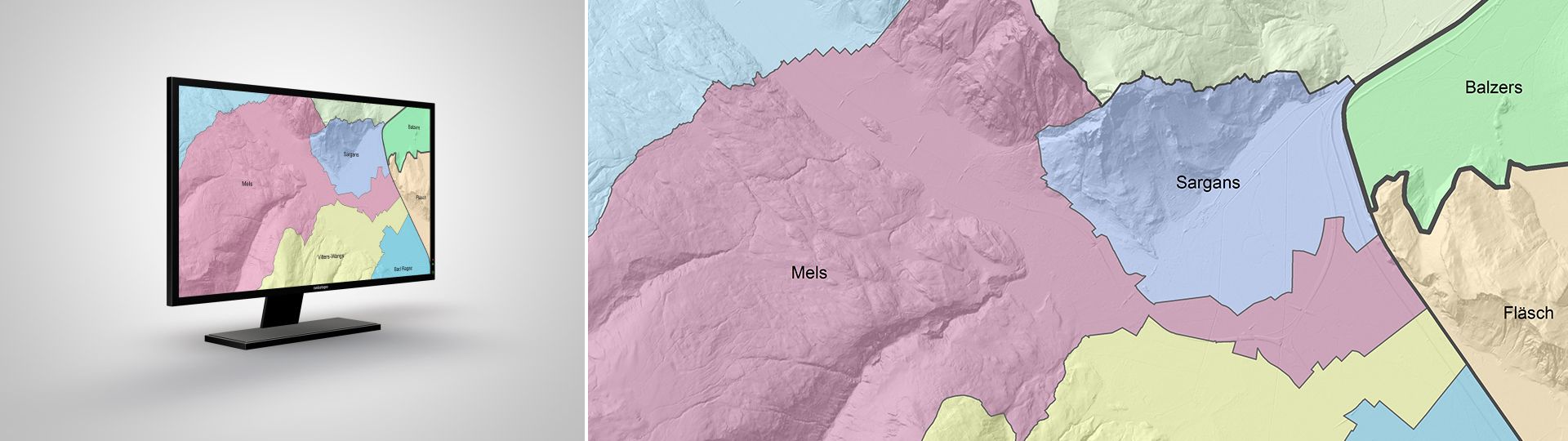
Administrative units of Switzerland
Update 2026: four new political municipalities
The latest edition of swissBOUNDARIES3D contains four new municipalities created through fusions of nine old municipalities.
- Canton of Aargau: Brugg
- Canton of Fribourg: Fétigny-Ménières, Gurmels
- Canton of Solothurn: Kriegstetten
Applications
Thanks to its simple and clearly defined data structure, swissBOUNDARIES3D can be used for a broad variety of tasks:
- Analyses requiring a spatial reference to the administrative divisions of Switzerland
- Use in combination with other geographic data sets
- Visual background for orientation in GIS, CAD and navigation systems
- Wide-area statistical analyses and simulations
- Reference data set for the development of information systems
Additional information
swissBOUNDARIES3D - Download
Index
Federal Office of Topography swisstopo
Topography - Geodata Distribution
Seftigenstrasse 264
3084 Wabern
Seftigenstrasse 264
3084 Wabern