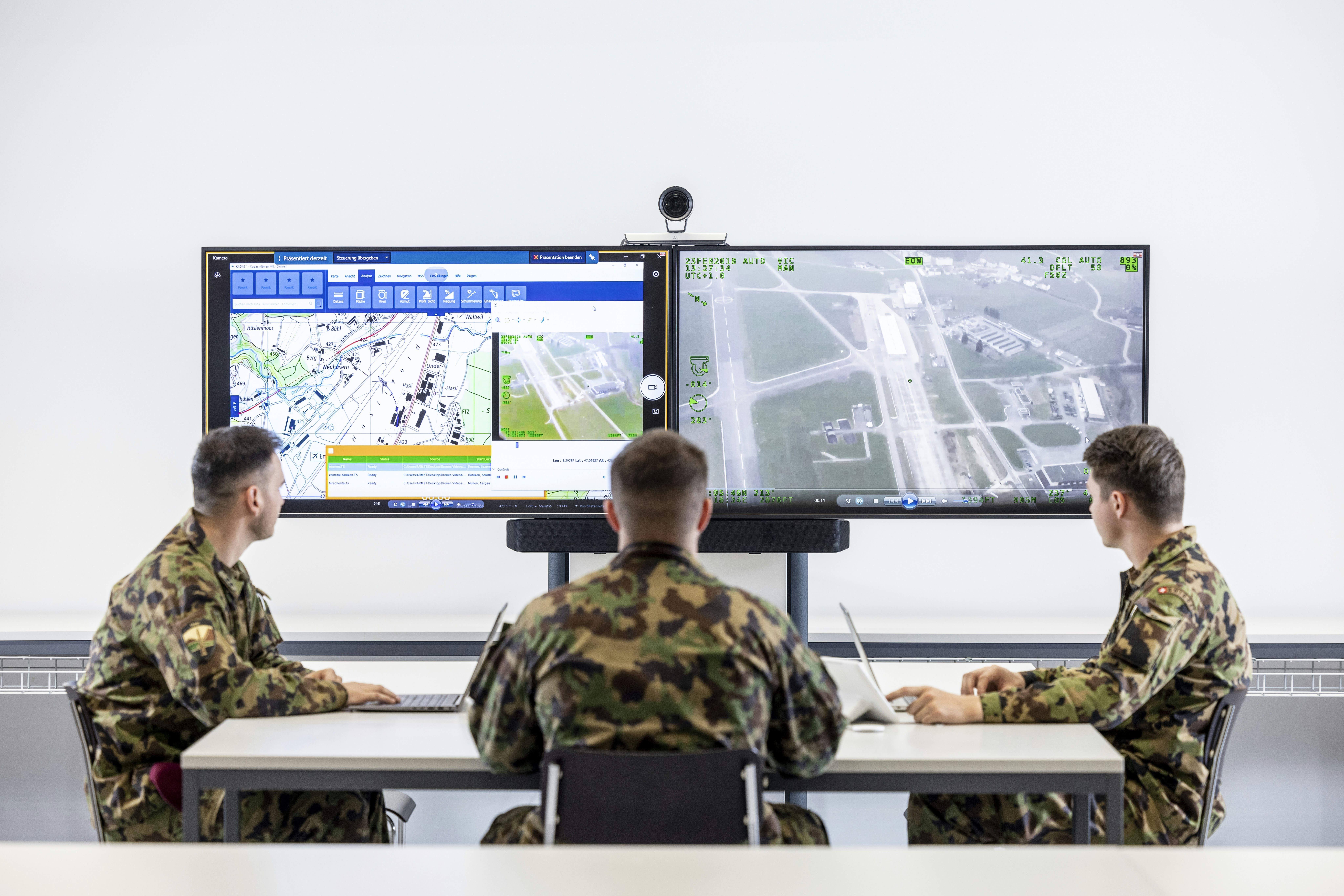
Map display system of the armed forces
KADAS is a standard application used by the armed forces to work with digital maps and geoinformation. It provides direct access to the military spatial data infrastructure (MSDI) across a number of topics.
KADAS makes it easier for the armed forces to access a wide range of geoservices, especially those provided by the military spatial data infrastructure (MSDI). This simplifies the process of analysing the landscape and creating plans for tactical operations. This information and these plans can be exchanged between the various systems.
KADAS also works offline. To make this possible, the application comes with a basic data package of digital maps. This allows the maps to be used offline during tactical operations where there is no network connection. Additional offline data packages are available on request.The integration of symbols and tactical graphics allows KADAS to exchange situational information with the armed forces’ command and control systems. This means that members of the armed forces who do not have access to these systems can use KADAS. This helps them to prepare operations and further training service.
KADAS was developed on the basis of the QGIS open-source solution. The source code is publicly available for use by others. swisstopo supports the armed forces and other users within the Federal Administration with the operation and development of this software.
Federal Office of Topography swisstopo
Seftigenstrasse 264
3084 Wabern


