
Maps and geodata from swisstopo in your app
With the Open Source Software Development Kit "Open Swiss Maps SDK" you can easily integrate the popular swisstopo national maps and geodata into your app.
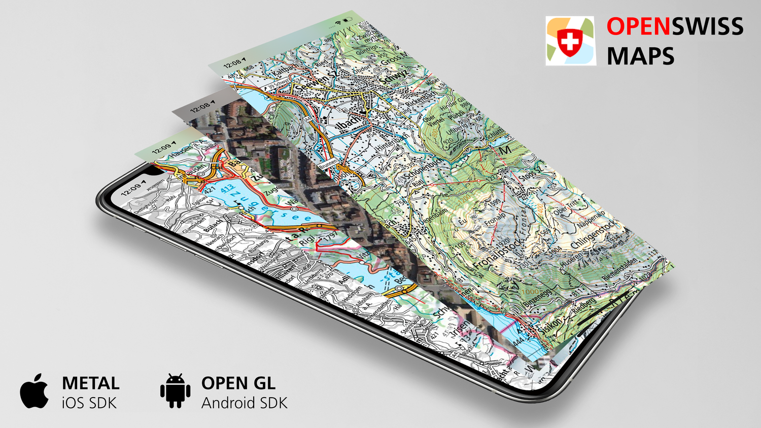
Free map layers and geodata from swisstopo in your app
Offer your mobile users the official national maps of Switzerland and many other maps and data from swisstopo in your app! Integrate them easily with the help of the software development kits "Open Swiss Maps SDK" and "Open Mobile Maps SDK". Thanks to Open Government Data (OGD), the data is available free of charge and can be used freely.
Further information on OGD: www.swisstopo.ch/ogd
Open Swiss Maps SDK: swisstopo in your app
GitHub Open Swiss Maps SDK
Open Mobile Maps SDK: the basis for seamless integration
Developers can find all further information on Open Mobile Maps here:
Open Mobile Maps SDK
GitHub Open Mobile Maps SDK
Get started - we also stay tuned to!
The Software Development Kits live on. Exciting functions will be added in the next versions. If you would like to learn more about the SDKs or you would like to talk to us about one of your ideas, please contact us at the following address:
General questions: pm-app@swisstopo.ch
Technical questions: maps@ubique.ch
Federal Office of Topography swisstopo
Seftigenstrasse 264
3084 Wabern