
Modernisation of the National Maps (2001-2021)
Between 2001 and 2021, swisstopo fundamentally modernised the production and appearance of the Swiss national maps. Find out here what this modernisation entails and why it is so important for the future of Swiss geodata.
Project milestones
- 2001 Decision regarding the concept based on a preliminary study carried out by the Federal Institute of Technology, Zurich
- 2003 Approval by swisstopo of the project and system objectives
- 2006 Decision regarding the procurement of the system components
- 2006 Consultation on the trial version of the 1:25,000 national map
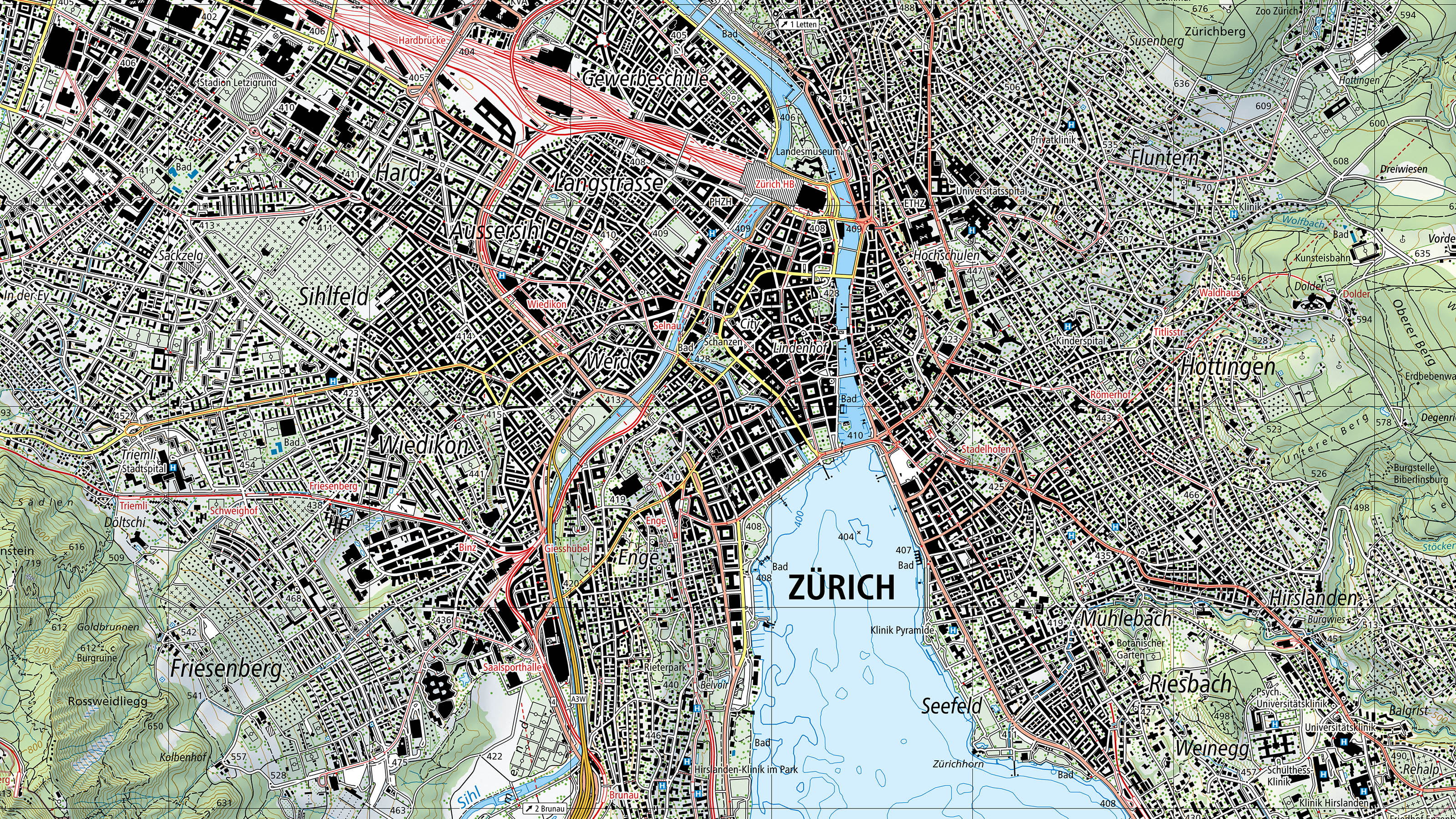
- 2011 Production of the 1:1,000,000 national map incorporating new system components
- 2013 Approval of the new production systems
- 2013 Initiation of the production of the new 1:25,000 national map
- 2014 Publication of the first sheets of the new 1:25,000 national map
- 2015 Publication of the new 1:500,000 national map as background to the ICAO map
- 2016 Initiation of the production of the new 1:50,000 national map
- 2016 Publication in map.geo.admin.ch of the first 1:10,000 national map produced entirely automatically
- 2016 Publication of the first sheets of the new 1:50,000 national map
- 2018 Publication of the 1:50,000 hiking map with new cartographic design
- 2019 Publication of the first sheets of the new 1:100,000 national map
- 2019 Publication of the 1:50,000 Snow Sports Map with new cartographic design
- 2021 Completion of the redesign of the National Map
Technology
In 2000, the computer mouse replaced the engraving stylus as the most important cartographic tool. Ten years after the transition from engraving on glass plates to purely digital CAD production, swisstopo cartography made further important technical developments with the replacement of the national maps from 2011:
- Introduction of automated generalisation
- Introduction of database-supported cartographic processing
- Development of digital cartographic models
- Introduction of the option of automated step-by-step updating
This brought digital data to the fore. Up until this technical upheaval, the printed map formed the basis for all digital models (so-called map-based digital models). This was reversed with the Topographic Landscape Model TLM and the DCM. Digital data now forms the starting point for a variety of products that can be derived from it: in addition to elevation models, landscape models and much more, the analogue paper maps also form part of this.
For the depiction of terrain, which is a distinguishing feature that makes the set of Swiss national maps unique throughout the world, existing elements such as relief shading and rock depiction are incorporated into the new maps. In this way, the unmistakeable character of the Swiss national map has been preserved even with the use of the new technologies.
Graphics
Adjustments in presentation improved the readability of the maps, not least with regard to digital applications:
- Consistent adherence to minimal dimensions and spacing with slightly larger minimal dimensions for better legibility
- Discontinuation of use of shaded or broken double lines
- Depiction of the railway network and stations in colour
- Classification of the road network by width and colour-coded differentiation of importance in terms of traffic volume
- Use of a new Swiss sans-serif font (Frutiger)
- Depiction of the changing surface area of forest, particularly in the region of the Alps, without the use of additional contour lines
- Depiction of municipal, cantonal and national borders using broad coloured lines
New possibilities
The modernised map and digital cartographic model opens up new opportunities for use, thanks in particular to the new vector data that is produced instead of the previously available pixel maps. The advantages are as follows:
- Possibility of flexible visualisation of cartography (e.g. colours, depiction of objects)
- Ability to link cartographic data with attributes (= assignable data) and data from third parties
- Data processing and provision independently of the sheet layout of the printed maps
- Detailed structuring and depiction of content (e.g. only road network or only bodies of water) separated by levels and objects
- Faster updating in the future
Federal Office of Topography swisstopo
Seftigenstrasse 264
3084 Wabern