
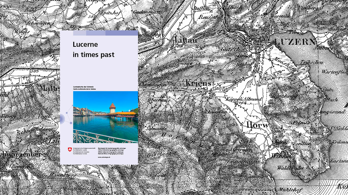
mySwissMap – new for history and cartography enthusiasts
Dive into the past and discover Switzerland in times past. The first editions of the Dufour and Siegfried Maps are now available as mySwissMap. Enjoy the advantages of the freely selectable map areas, to freely insert elements and the fully customizable cover. Order your historical piece of Switzerland!
Dufour Map
The 1:100,000 topographic map of Switzerland was the first official series of maps that encompassed the whole of the country. It was published in the period from 1845 to 1865 and thus coincides with the creation of the modern Swiss Confederation.
Further information on the Dufour Map
Siegfried Map
The first edition of the Siegfried Map from the years 1870 - 1915 covers the Alpine regions at a scale of 1:50,000 and the Jura Mountains and Central Plateau regions at a scale of 1:25,000. Together they represent the first detailed map of all of Switzerland and is a unique item of our cultural heritage.
Further information on the Siegfried Map
Your historical piece of Switzerland
The historical maps as mySwissMap in printed form will bring a piece of contemporary history to your home.
Federal Office of Topography swisstopo
Seftigenstrasse 264
3084 Wabern