
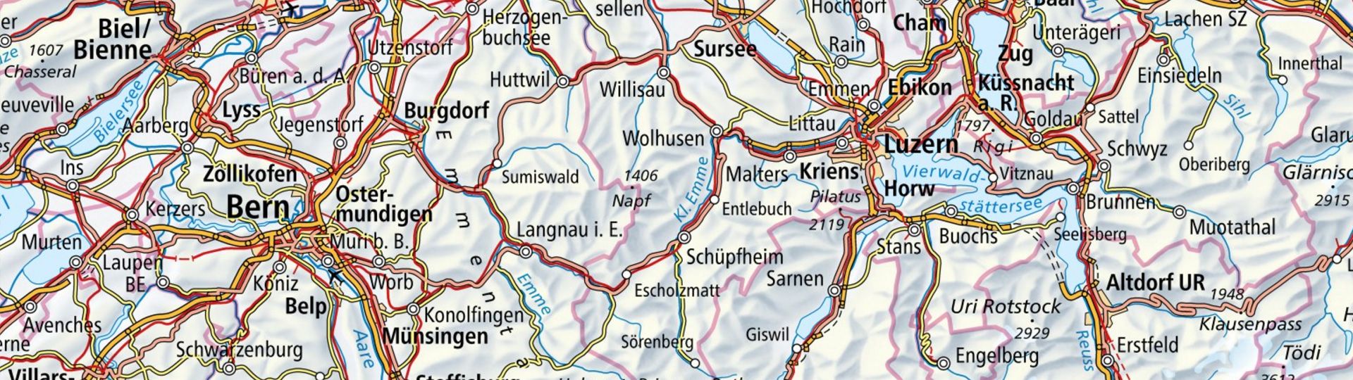
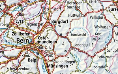
National Map 1:1Million
Explore Switzerland and its neighbours from Lyon to Salzburg and from Strasbourg to Genoa on a handy topographical overview map.
Order the 1:1Million national map as printed version
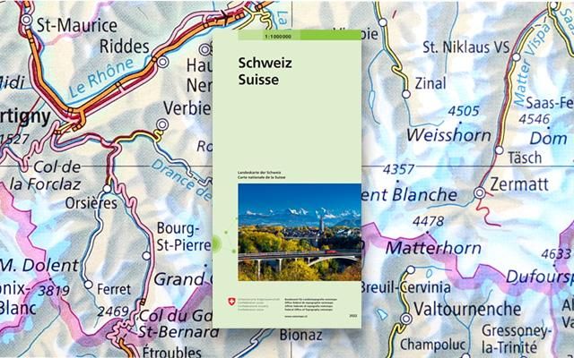
Order the 1:1Million national map
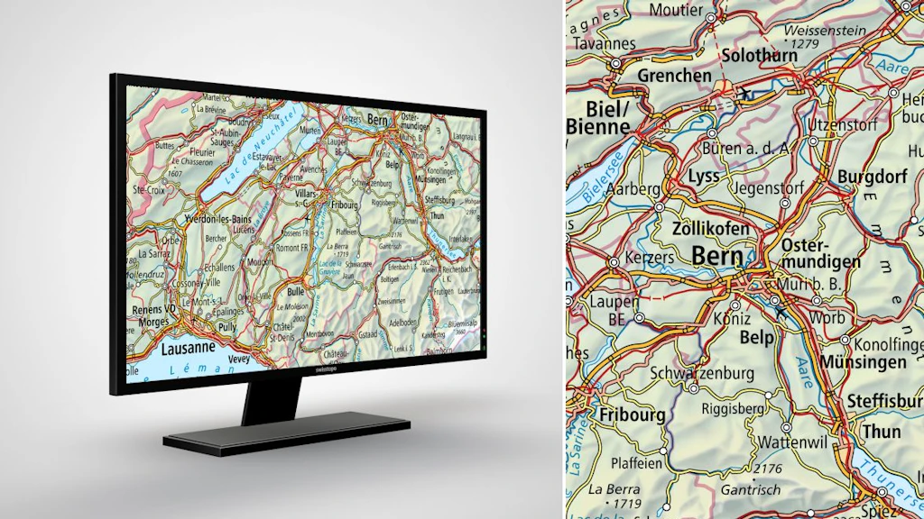
View the 1:1Million national map online
View the 1:1Million national map in the map.geo.admin.ch viewer
Download the 1:1Million national map or use it as a geoservice
Index
Swiss Map Raster 1000
Swiss Map Raster products encompass the entire range of digital national maps in raster format. The data is directly derived from digitally produced map bases and is georeferenced.

Swiss Map Vector 1000
Swiss Map Vector 1000 is the Swiss national 1:1'000'000 scale map in vector format. It provides a clear depiction of the main traffic axes, residential areas, bodies of water, summits and borders.
Map reading
The brochure “Map reading” and the explanation of symbols provide useful information for users of the national maps and for teaching purposes.
You can order the brochure in paper form here: Map reading | swisstopo Online Shop
Federal Office of Topography swisstopo
Seftigenstrasse 264
3084 Wabern