
National Map 1:10'000
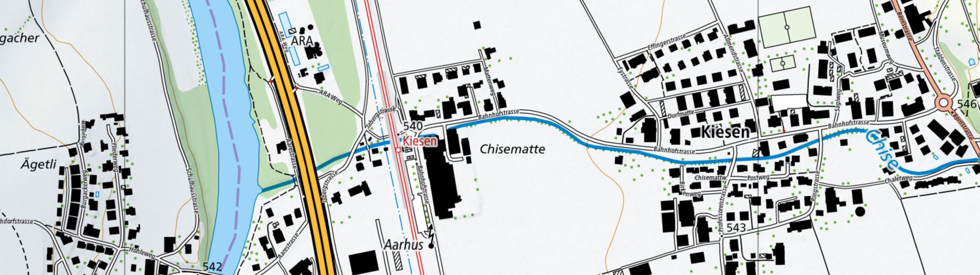
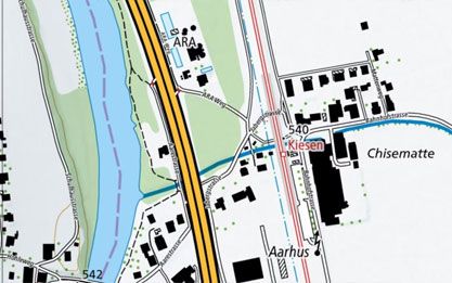
The national map 1:10,000 is swisstopo's largest scale topographic map. It stands out for its detailed representation of traffic, settlements, terrain and vegetation. Rock hachures and relief complement the content.
Order mySwissMap at a scale of 1:10'000

Order your mySwissMap at a scale of 1:10'000
View the 1:10'000 national map online
View the 1:10'000 national map in the map.geo.admin.ch viewer
View the 1:10'000 national map in winter representation in the map.geo.admin.ch viewer
Download the 1:10'000 national map or use it as a geoservice
Index

Swiss Map Raster 10
Swiss Map Raster 10 is swisstopo’s largest scale topographic map. It stands out for its detailed representation of traffic, settlements, terrain and vegetation as well as its thorough labelling. The contents are supplemented by rock hachures and relief.

Swiss Map Raster Winter 10
Swiss Map Raster Winter 10 is the national map in scale 1:10'000 in digital form and winter representation. The delivery format is a raster image. It is defined by very detailed map content and a comprehensive set of labels, including street names.

Swiss Map Vector 10
Swiss Map Vector 10 is the Swiss national 1:10'000 scale map in vector format. swisstopo’s largest scale topographic map stands out for its detailed representation of traffic, settlements, terrain and vegetation as well as its thorough labelling. Raster data for relief and rock features complete the vector data.
Map reading
The brochure “Map reading” and the explanation of symbols provide useful information for users of the national maps and for teaching purposes.
You can order the brochure in paper form here: Map reading | swisstopo Online Shop
Federal Office of Topography swisstopo
Seftigenstrasse 264
3084 Wabern