
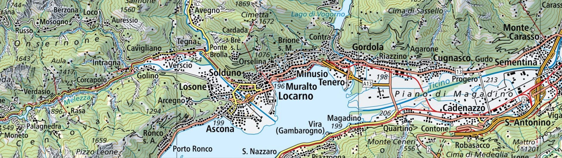
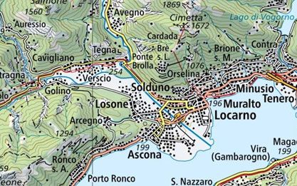
National Map 1:200'000
The most precise overview map of Switzerland depicts the entire country with a high degree of clarity and in great detail on a total of 4 sheets.
Order the 1:200'000 national map as printed version

Order the 1:200'000 national map
View the 1:200'000 national map online
View the 1:200'000 national map in the map.geo.admin.ch viewer
View the 1:200'000 national map in winter representation in the map.geo.admin.ch viewer
Download the 1:200'000 national map or use it as a geoservice
Index
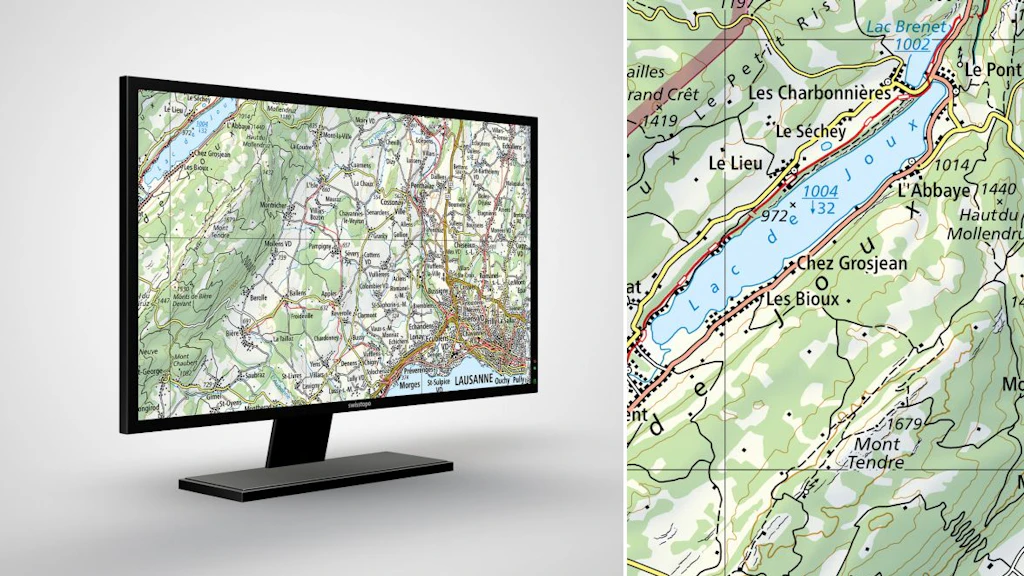
Swiss Map Raster 200
Swiss Map Raster products encompass the entire range of digital national maps in raster format. The data is directly derived from digitally produced map bases and is georeferenced.

Swiss Map Raster Winter 200
Swiss Map Raster Winter 200 is the digital version of the national map in 1:200'000 in winter representation and in raster format. With its wintry colour scheme, it is suitable as an overview map for winter and snow sports themes.
Map reading
The brochure “Map reading” and the explanation of symbols provide useful information for users of the national maps and for teaching purposes.
You can order the brochure in paper form here: Map reading | swisstopo Online Shop
Federal Office of Topography swisstopo
Seftigenstrasse 264
3084 Wabern