
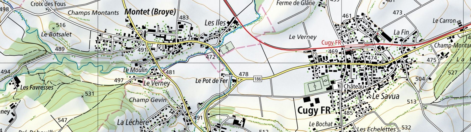
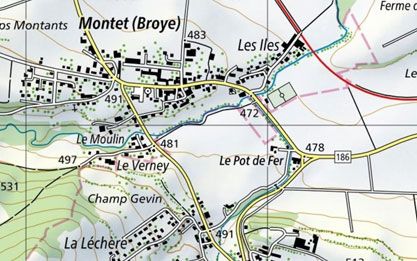
National Map 1:25'000
The best and most detailed topographical map for generations. It is also the most popular map series in Switzerland and shows the terrain on 247 sheets.
Order the 1:25'000 national map as printed version
Order the 1:25'000 national map
Order Summits map 1:25'000 as printed version
Order Chief towns map 1:25'000 as printed version

Order Chief towns map 1:25'000
Order mySwissMap at a scale of 1:25'000
Order your mySwissMap at a scale of 1:25'000
View the 1:25'000 national map online
View the 1:25'000 national map in the map.geo.admin.ch viewer
View the 1:25'000 national map in winter representation in the map.geo.admin.ch viewer
Download the 1:25'000 national map or use it as a geoservice
Index

Swiss Map Raster 25
Swiss Map Raster products encompass the entire range of digital national maps in raster format. The data is directly derived from digitally produced map bases and is georeferenced.

Swiss Map Raster Winter 25
Swiss Map Raster Winter 25 is the digital version of the national map in 1:25'000, in winter representation and raster format. With its wintry colour scheme, it is suitable as background information for the presentation of snow sports themes.

Swiss Map Vector 25
“Swiss Map Vector 25” is the Swiss national 1:25'000 scale map in vector format. It includes all complete and differentiated rail, road and path networks, a detailed representation of residential areas, bodies of water, vegetation and terrains complete with annotations.
Map reading
The brochure “Map reading” and the explanation of symbols provide useful information for users of the national maps and for teaching purposes.
You can order the brochure in paper form here: Map reading | swisstopo Online Shop
Federal Office of Topography swisstopo
Seftigenstrasse 264
3084 Wabern