
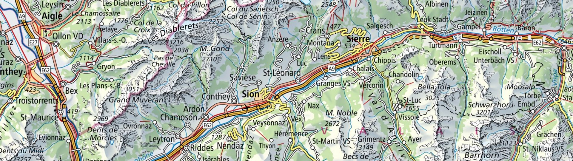
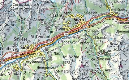
National Map 1:500'000
Small scale, large overview. The precise topographical map shows the entire territory of Switzerland and its neighbouring foreign countries. It shows the complete railway network as well as freeways, highways and major roads.
Order the 1:500'000 national map as printed version
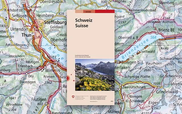
Order the 1:500'000 national map
View the 1:500'000 national map online
View the 1:500'000 national map in the map.geo.admin.ch viewer
Download the 1:500'000 national map or use it as a geoservice

Swiss Map Raster 500
Swiss Map Raster products encompass the entire range of digital national maps in raster format. The data is directly derived from digitally produced map bases and is georeferenced.

Swiss Map Vector 500
Swiss Map Vector 500 is the Swiss national 1:500'000 scale map in vector format. It includes the railway network, all highways, semi-highways, transit and link roads, a highly simplified depiction of residential areas and terrains and the names of principal objects.
Index
Map reading
The brochure “Map reading” and the explanation of symbols provide useful information for users of the national maps and for teaching purposes.
You can order the brochure in paper form here: Map reading | swisstopo Online Shop
Federal Office of Topography swisstopo
Seftigenstrasse 264
3084 Wabern