
Swiss Map Raster Winter 50
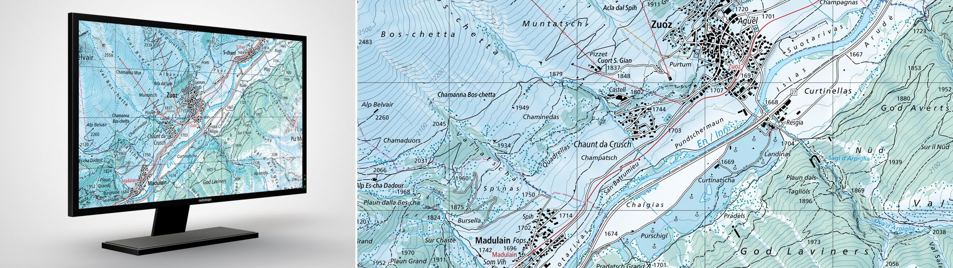
Swiss Map Raster Winter 50 is the digital version of the national map 1:50'000 in winter representation and raster format. Clear, rich in detail and with a wintry colour scheme, it is the perfect basis for winter and snow sports themes.
The digital version of the national map in 1:50'000 in winter representation and in raster format
Swiss Map Raster Winter 50 is the national map 1:50'000 in winter representation. Thanks to its richness of detail and clarity, this map is the basis of many thematic maps.
With its wintry colouring, Swiss Map Raster Winter 50 is suitable as background information for the presentation of snow sports topics in web and mobile applications as well as in geoservices or geographic information systems. They can also be used as base maps for digital prints.
The map perimeter of the Swiss Map Raster Winter 50 covers the national territory of Switzerland and adjoining foreign territory as well as the Principality of Liechtenstein. Publication is annual and based on the latest version of the Swiss Map Raster 50.
Additional information
Swiss Map Raster Winter 50 - Download
Index
Federal Office of Topography swisstopo
Seftigenstrasse 264
3084 Wabern