
Swiss Map Raster Winter 500
Swiss Map Raster Winter 500 is the digital version of the national map in 1:500'000 in winter representation and in raster format. It is suitable as an overview map.
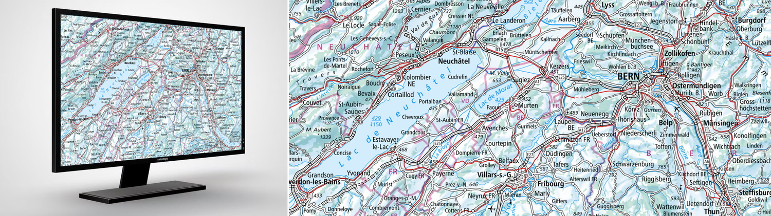
The digital version of the national map in 1:500'000 in winter representation in raster format
The map shows the entire territory of Switzerland and its neighbouring foreign countries according to the motto: small scale, large overview.
Swiss Map Raster Winter 500 is suitable as background information for the presentation of snow sports topics in web and mobile applications as well as in geoservices or geographic information systems. They can also be used as base maps for digital prints.
Publication is annual and based on the latest version of the Swiss Map Raster 500.
Additional information
Swiss Map Raster Winter 500- Download
Index
Federal Office of Topography swisstopo
Topography - Geodata Distribution
Seftigenstrasse 264
3084 Wabern
Seftigenstrasse 264
3084 Wabern