
Municipal boundaries - journey through time
The number and territory of Swiss municipalities have changed considerably since 1850 and the creation of modern Switzerland. Discover this evolution on the map portal map.geo.admin.ch with the new journey through time function for municipal boundaries.
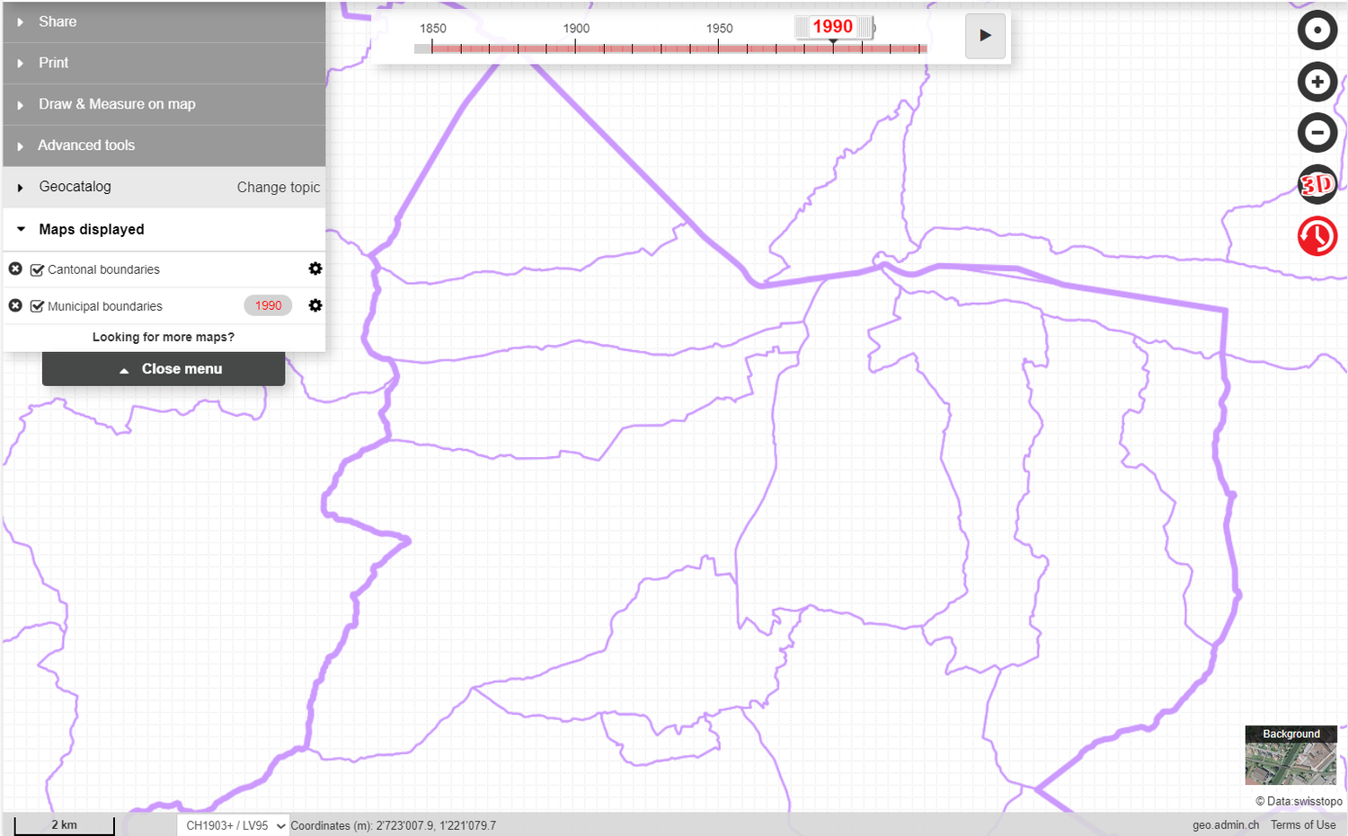
The layer municipal boundaries constitute the administrative borders of the municipalities of Switzerland and the principality of Liechtenstein. By default, the current status of municipal boundaries is displayed. With the historical data representation tool - called « journey through time - the evolution of municipal boundaries from 1850 to the present day is interactive. When a year prior to the current status is selected, the status of municipal boundaries on the first of January is displayed. Two data sources have been used to generate this layer: "Municipal boundaries: time series since 1850s» from the Swiss Federal Statistical Office for the period 1850 - 2015 and swissBOUNDARIES3D from the Swiss Federal Office of Topography for the period 2016 to the present.
The corresponding geodata can be downloaded from the FSO website or - for the years from 2016 onwards - from the website of swisstopo.
To find out more about the evolution of communes, consult the FSO news.
Federal Office of Topography swisstopo
Seftigenstrasse 264
3084 Wabern