
SWISSIMAGE HIST 1946
The orthophoto mosaic SWISSIMAGE HIST 1946 «US flight mission» is a composition of historical black and white aerial photographs from 1946 over the whole of Switzerland with a ground resolution of 1m.
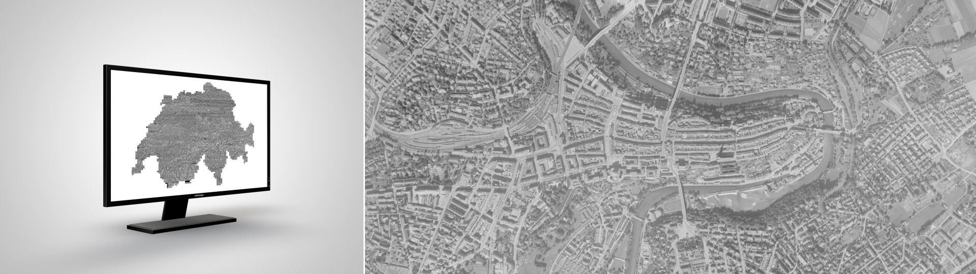
The historical black and white Orthophotomosaic of Switzerland from 1946
Discover SWISSIMAGE HIST 1946 on map.geo.admin.ch
Images that have been freed of their distortions and therefore show a uniform scale over their entire surface, are designated as orthoimage. They can for instance be overlaid with other geodata and serve as a basis for accurate measurements of coordinates, distances and surfaces.
Applications
The historical dimension of SWISSIMAGE HIST 1946 and the possible comparison with newer orthophotos make it an ideal basis for studies on the evolution of natural and built environment.
Prices and Ordering
The dataset is not available for free download. Please send your orders to geodata@swisstopo.ch who will make an offer for the costs of the provision of the data. To facilitate the order, please specify the area of interest (rectangle in Swiss coordinates, municipality, etc.), the format and, if necessary, the resolution or variant.
SWISSIMAGE HIST 1946 can be displayed as a separate layer in map.geo.admin.ch. In addition, the data is offered as a WMS and WMTS service.
Additional information
Index
Federal Office of Topography swisstopo
Seftigenstrasse 264
3084 Wabern