
Satellite-based surveying
Modern national surveying is based on signals from global navigation satellites.
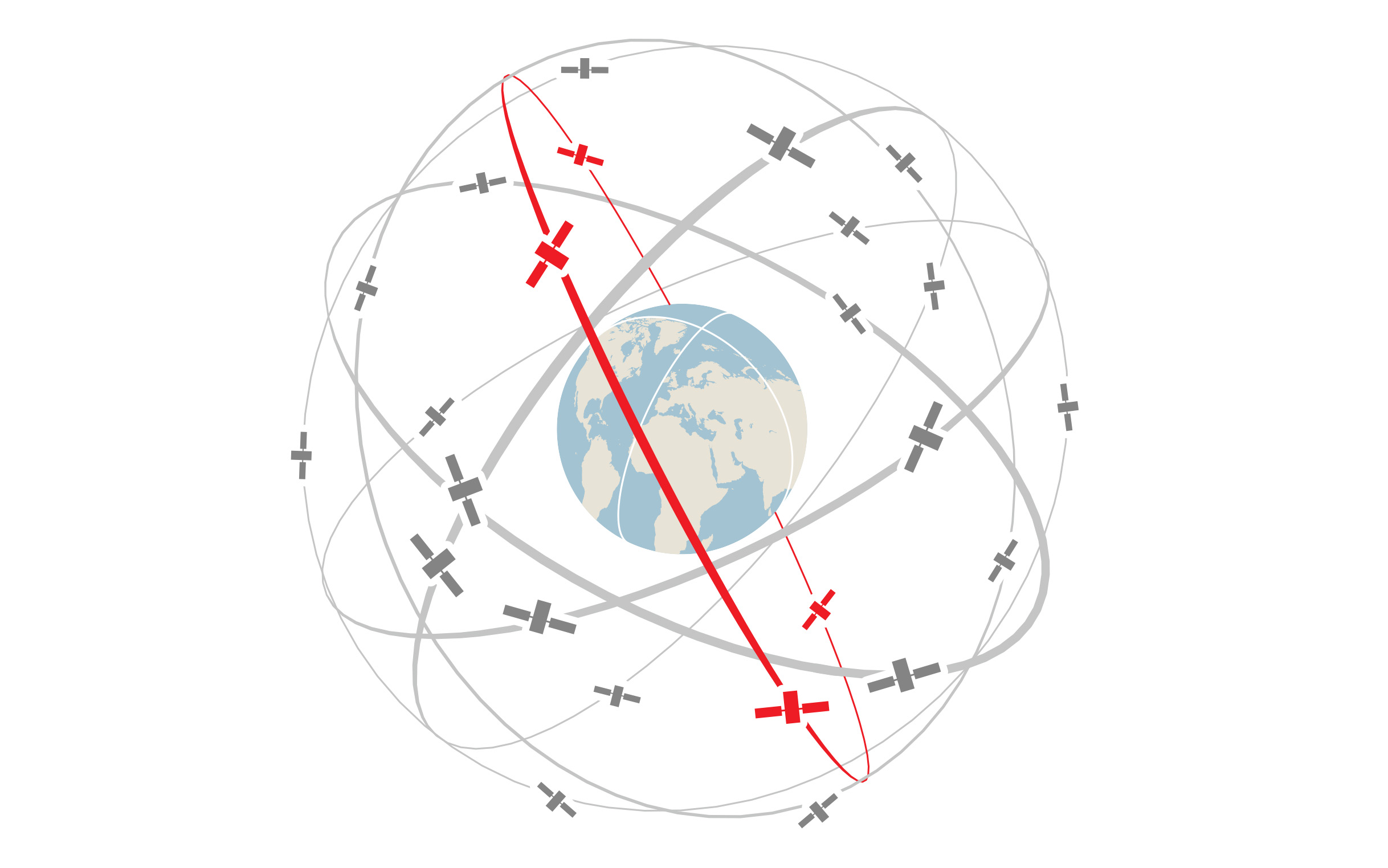
A variety of global navigation satellite systems orbit the Earth.
The signals emitted by these satellites are picked up by receivers on the ground, and together with appropriate software, they can be used for highly precise positioning. In addition to being very accurate and economical, this method has the advantage that a direct line of sight between points is not necessary.
Federal Office of Topography swisstopo
Division Survey
Seftigenstrasse 264
3084 Wabern
Seftigenstrasse 264
3084 Wabern