
Special Geological Maps Vector
Various different geological and tectonic maps at scales from 1:25'000 to 1:100'000 supplement the information given in the Geological Atlas of Switzerland and the GeoMaps 500.
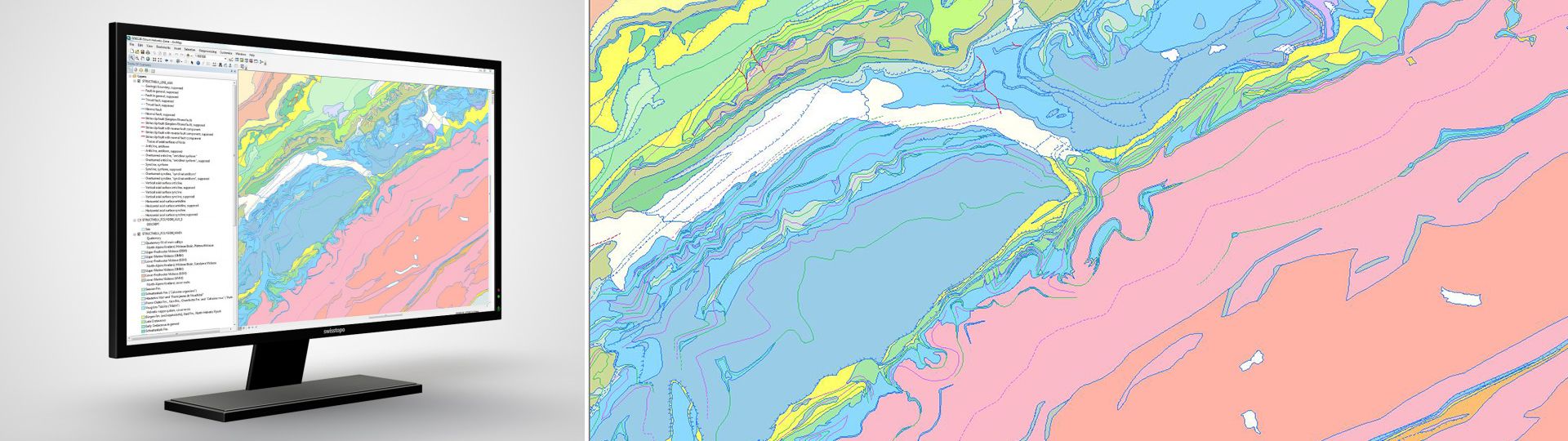
Vectorised GIS maps
Geological and tectonic special maps ranging from 1:25'000 to 1:100'000 scale complement the Geological Atlas and GeoMaps 500. They cover areas chosen for geographical or thematic reasons and give information on regional geological relationships or focus on selected topics of special interest.
Additional information
Special Geological Maps Vector - Download
Division Special Geological Maps Vector - Map viewer
Index
Federal Office of Topography swisstopo
Division Cartography
Seftigenstrasse 264
3084 Wabern
Seftigenstrasse 264
3084 Wabern