
St-Ursanne - Swiss Geological Survey / Mont Terri Project
The Swiss Geological Survey is the latest department to join the Federal Office of Topography (swisstopo).
- 1860: The “Swiss Geological Commission” was established with the aim of publishing a 1:100,000 geological map of Switzerland.
- 1965: The “Swiss Geological Documentation Centre” was established. Its task is to collect and analyse unpublished geological documents and make them accessible to users.
- 1985: The “Swiss Hydrological and Geological Survey” was established with a new “Geology” division within the Federal Office for the Environment.
- 2006: Following a number of changes, the “Geology” division was assimilated into the Federal Office of Topography (swisstopo). Hydrogeology remained part of the Federal Office for the Environment (FOEN).
- 2007: A federal Act provided the first legal basis for the Swiss Geological Survey.
- 2008: A firm legal basis was created for the “Rock laboratory and deep geological repository” section and the management of the Mont Terri rock laboratory.
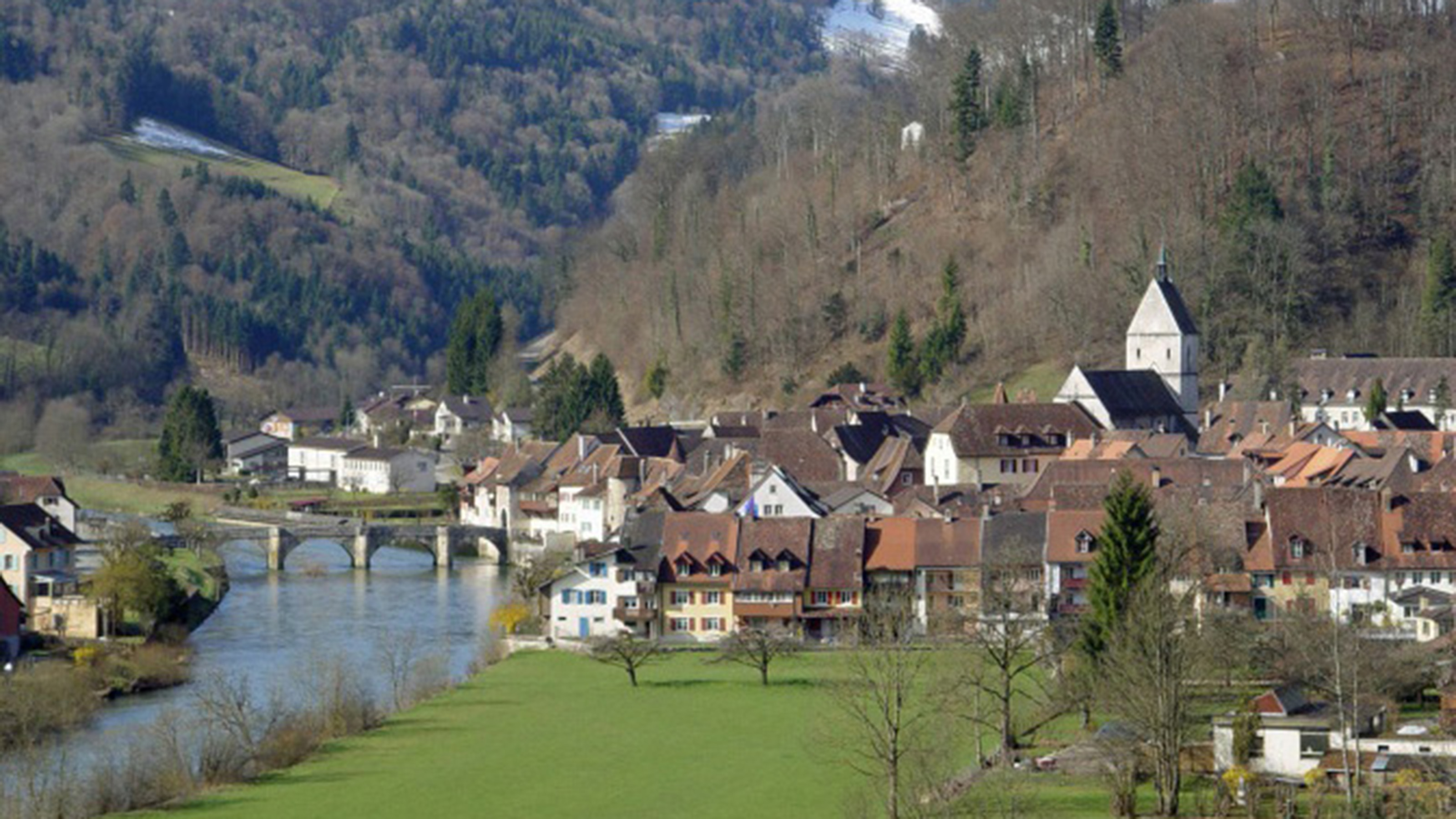
St.-Ursanne is situated at 440 metres above sea level, eight kilometres south-east of Porrentruy, which is the capital town of the local district. This historic town is situated in the narrow valley of the River Doubs, on the right bank of the river, between the Jura mountains around Lomont in France in the north and the Clos du Doubs region in the south.
The Mont Terri rock laboratory
The Mont Terri rock laboratory is located to the north of St.-Ursanne in the canton of Jura. It is around 300 metres beneath the earth’s surface and can be accessed via the safety tunnels connected to the Mont Terri Transjurane motorway tunnel. The laboratory tunnels in the opalinus clay layer are approximately 500 metres long in total. The first experiments were carried out in 1996 in eight small niches along the safety tunnel, and a separate research tunnel was excavated in 1998 and subsequently extended in 2004 and 2008.
The rock laboratory is used exclusively for research purposes. There is no question of using the facility to store radioactive waste.
International research platform
The Federal Office of Topography (swisstopo) runs the rock laboratory and manages the Mont Terri project. Fifteen organisations from Belgium, Germany, France, Japan, Canada, Spain, Switzerland and the USA are involved in the underground research projects being carried out here. Various other countries are also considering using clay formations as potential host rock for deep geological repositories. Host rock is a geological medium in which tunnels are constructed for storing radioactive waste. The project partners meet regularly to discuss the results of ongoing experiments and to talk about implementing and financing new ones.
Knowledge for universal use
The knowledge gleaned from the Mont Terri rock laboratory can also be combined with other branches of research in future, so it can be applied to areas such as the disposal of chemical waste, the oil industry, CO2 storage or deep geothermal energy.
Federal Office of Topography swisstopo
Seftigenstrasse 264
3084 Wabern