
Swiss Positioning Service (swipos)
The Swiss Positioning Service (swipos) provides the official spatial reference frame of Switzerland, based on the satellite systems GPS, GLONASS, Galileo and BeiDou 3.

swipos-GIS/GEO
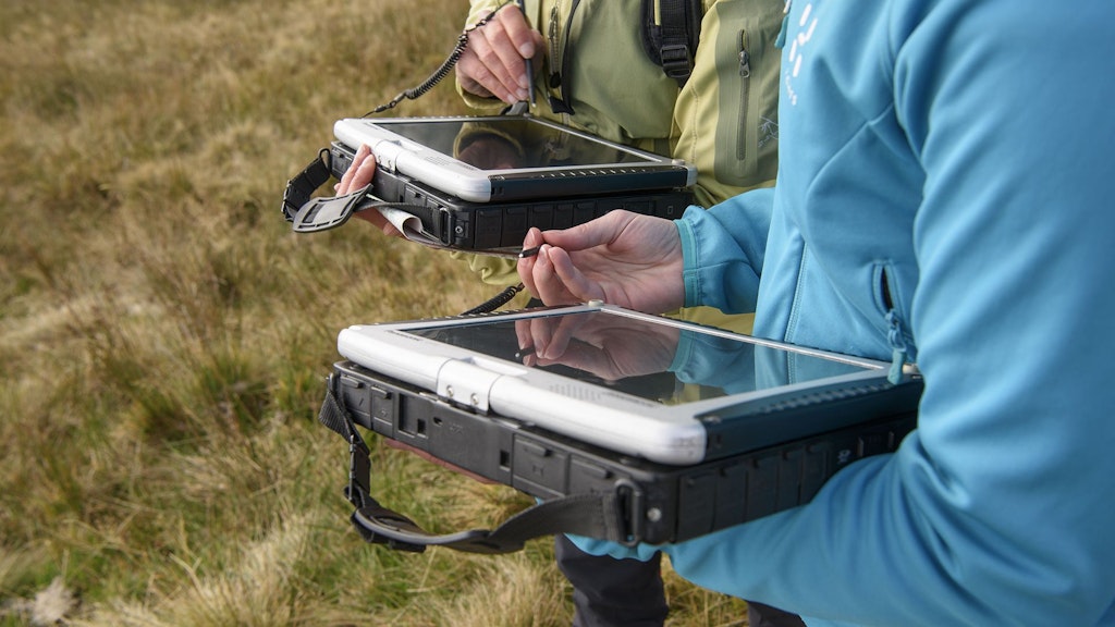
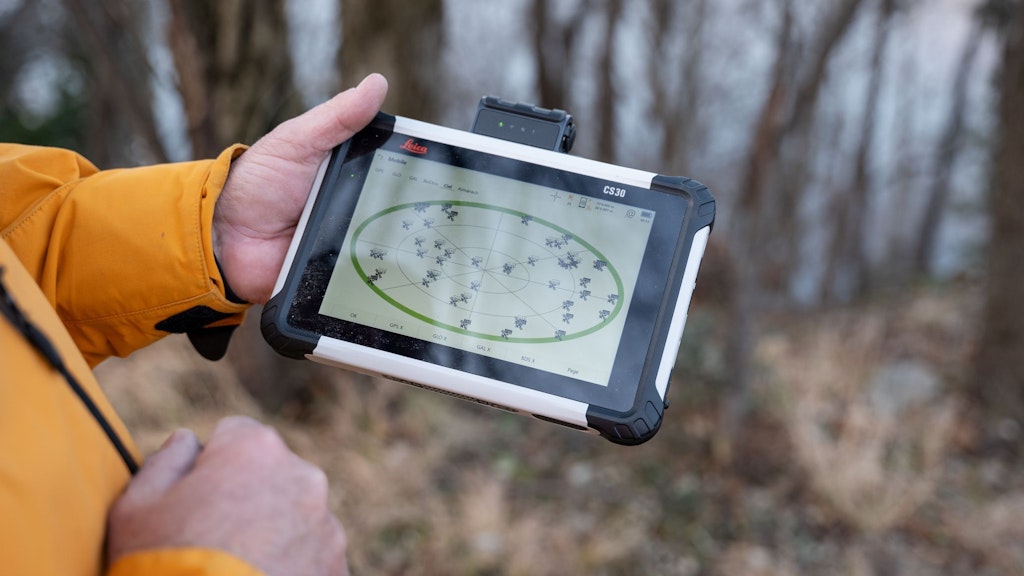
swipos-GIS/GEO is a positioning service for professional users with accuracy requirements in the cm range.
Technical Details for swipos
This page brings together the detailed technical specifications of the swipos services provided by swisstopo.It is intended for professional users or anyone who needs to configure and use the swipos services in a detailed manner.

swipos Services - Prices and Ordering
swipos is usually distributed via resellers, but it is also available directly from swisstopo. Link to order form.

swipos-NAV
swipos-NAV enables the reception of navigation corrections via a mobile data connection. The correction data are calculated from the data of the Automatic GNSS Network Switzerland (AGNES) and allow a GNSS positioning accuracy of up to half a meter with high-end devices in perfect conditions.

swipos-INFRA
swipos-INFRA enables the real-time integration of local monitoring networks into the homogeneous AGNES coordinate frame. The joint evaluation of the locally recorded measurement data and the measurements of the AGNES stations allows to verify the stability of local reference stations as well as to determine the displacements of object points.
swipos - Frequently asked questions
Here you will find answers to frequently asked questions concerning the Swiss positioning service, swipos.

swipos - News & newsletter
Here you find the swipos newsletter as well as current information on the Swiss Positioning Service swipos.
swipos is based on the automatic GNSS network Switzerland (AGNES), a network of continuously operating reference stations (CORS), covering all of Switzerland. swipos enables differential GNSS measurements of highest accuracy without the need to run private CORS.
The calculations use the fourth global navigation satellite systems (GNSS) GPS, GLONASS, Galileo and BeiDou 3. To increase the GNSS-accuracy of 5-10 m, the correction service swipos uses a virtual reference station (VRS), which is interpolated for the current user position based on measurements from the surrounding ANGES stations. This method enables swipos-GIS/GEO to determine the position in real-time with a cm-range accuracy.
Availability
- The positioning services are available 24/7.
- The services are monitored during the opening hours of swisstopo.
- There is no guarantee that the services are running without errors or interruptions.
During the year 2024 swipos-GIS/GEO was available with zero downtime.
swipos Shop
The swipos shop offers you:
- Account administration
- Current status of swipos and information about planned maintenance works
- Visualisation of current geometric and atmospheric errors
- Download of RINEX files of AGNES stations or a virtual reference station for post processing
Links
Federal Office of Topography swisstopo
Seftigenstrasse 264
3084 Wabern
Fragen zu Registrierung, Bestellung und Abrechnung: sales.swipos@swisstopo.ch