
Swiss geographic names
2'676’315 / 1'180’580 oder Titlis? In order to designate a location within a given country, it is standard practice to use geographic names instead of coordinates. Place names are an essential feature on maps and in swisstopo’s applications, and we frequently receive requests for information on this topic. Geographic names are defined by various players, and swisstopo compiles them within the framework of the national survey.
Use of geographic names
The term "geographic names" refers to various place names and topographic features. These names are used to designate residential areas, individual objects (e.g. castles, alpine huts, chapels, hospitals), traffic infrastructure (railway stations, bus and tram stops, bridges, tunnels, airports, etc.), local names, major facilities, natural features (landscapes, valleys, glaciers, mountains, water courses, lakes), administrative facilities, and so on.
Specification of official geographic names
The Federal Ordinance on Geographic Names specifies who is responsible for the definition, implementation and administration of geographic names. It defines various categories of names, and specifies the responsibilities and processes for each category. As a rule, cantonal and municipal authorities play a significant role in the designation of geographic names. Official procedures apply regarding the naming of municipalities, localities (for post office purposes), streets and stations (including bus and tram stops). Here, swisstopo is primarily responsible for coordination and consultation, but it also makes recommendations with respect to the orthography of these names.
Geographic names on swisstopo’s maps
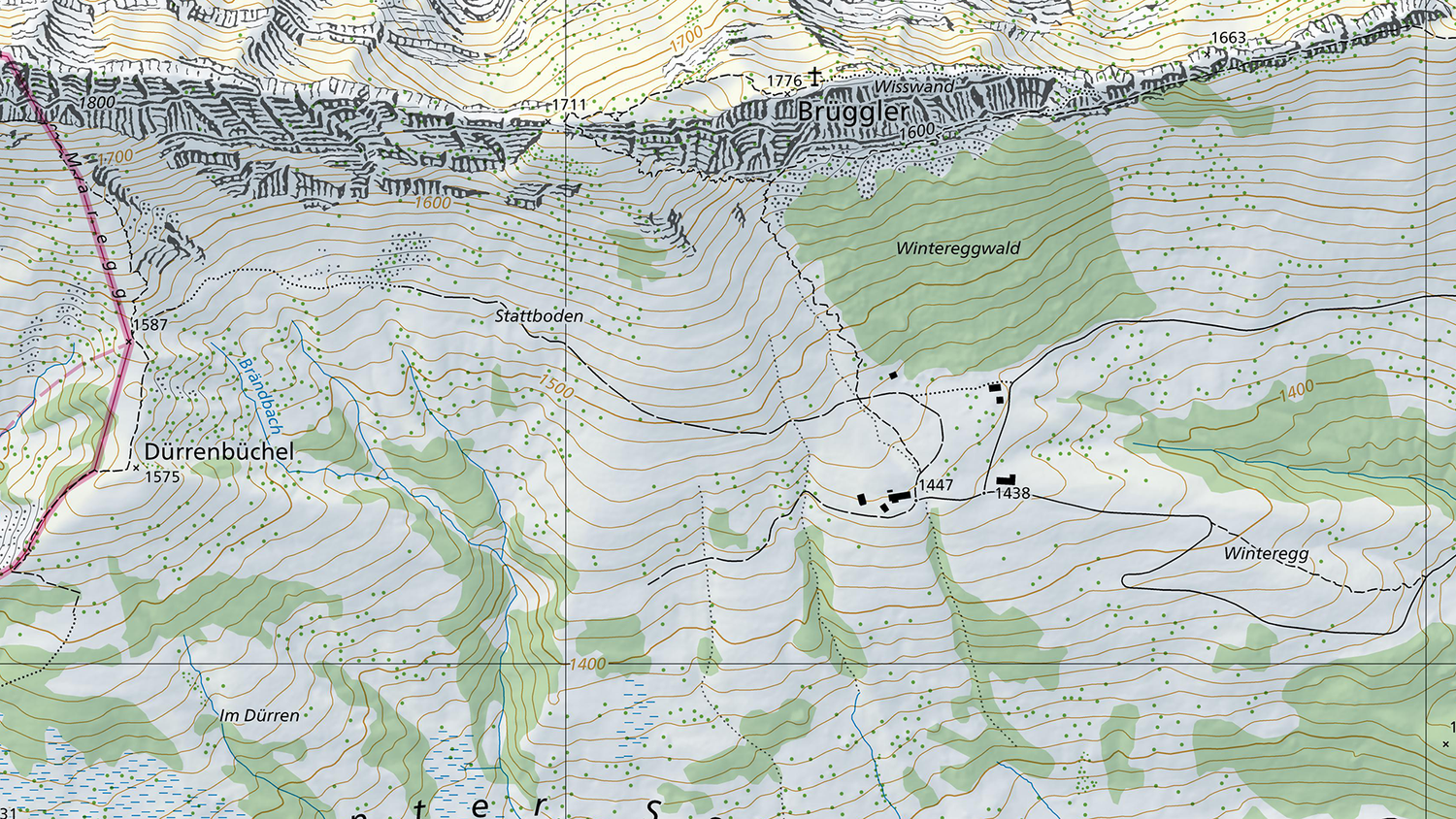
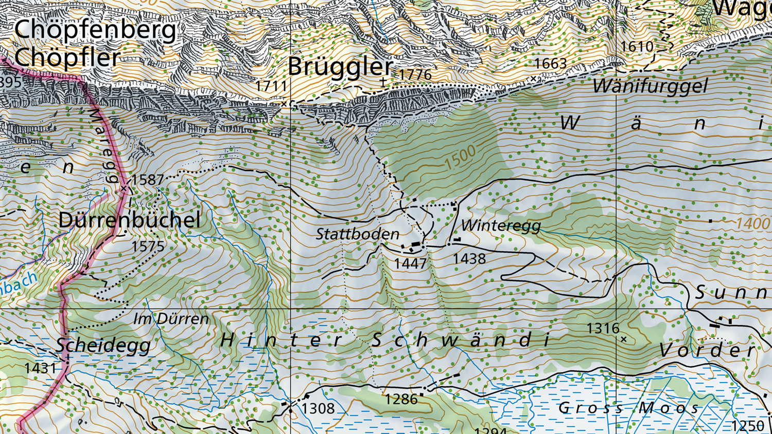
swisstopo primarily uses geographic names for its production of the series of national maps. The names are stored in the topographic landscape model (TLM) – a comprehensive database that is used for a broad range of applications. The TLM also forms the basis for the place names included in the national survey. The database currently contains more than 490,000 entries, and anyone can download them free of charge via the swissNAMES3D dataset. For its input into the TLM, swisstopo mainly relies on the geographic names specified by the cantons in the cadastral survey, and on the official names adopted via the respective administrative procedures. These are supplemented with the geographic names specific to the national survey, including those of major topographic features and landscapes, plus important names adopted from previous versions of the national maps.
A selection of names in the TLM is used for the purpose of producing national maps at different scales. Cartographic rules determine the placement, colour and font size of the names. Captions on the national maps provide additional information. The geographic names in the TLM are also used for performing searches in swisstopo’s mobile app or the official map viewer (map.geo.admin.ch).
Official language or dialect?
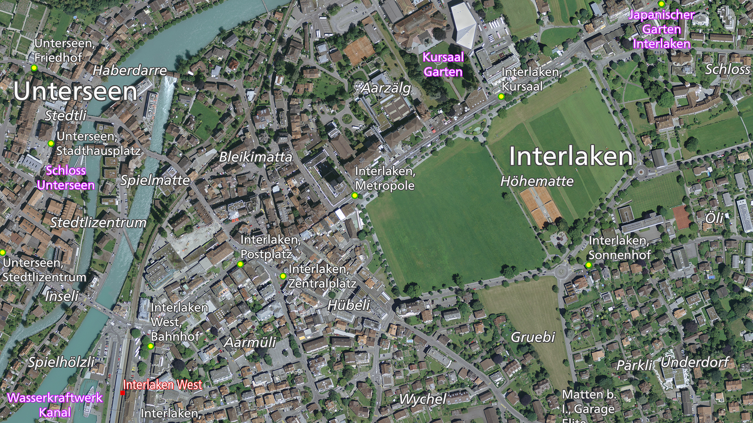
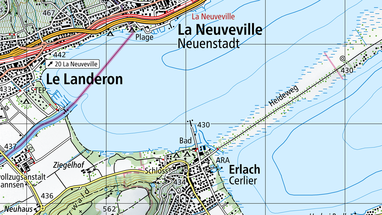
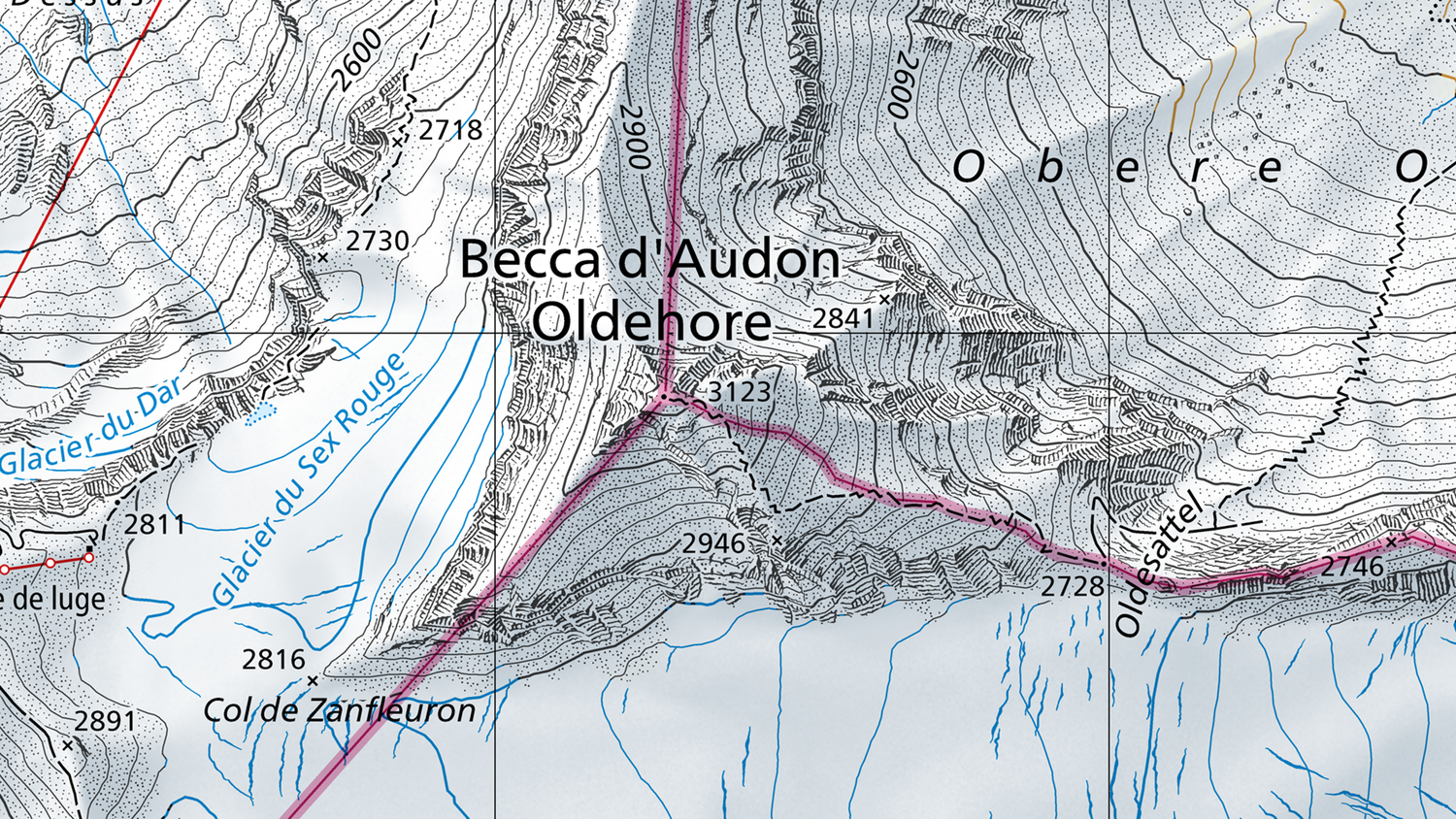
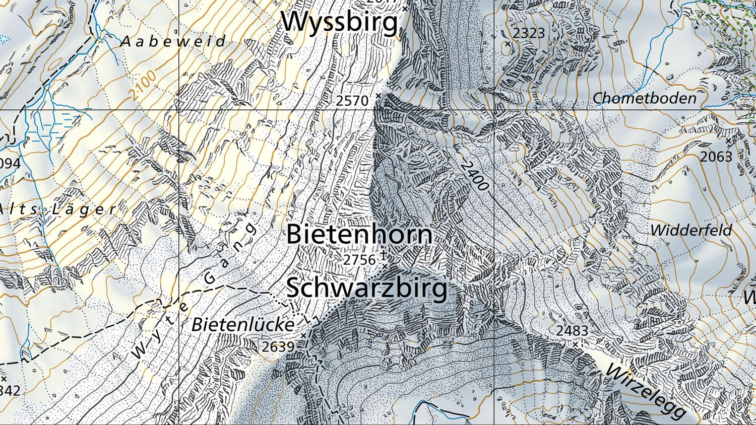
For residential areas, swisstopo uses the official names adopted through administrative procedures, which are normally written in the official language of the region concerned. For other places and topographic features (mountain peaks, passes, traditionally named locations, etc.), the orthography is adopted from the local names in the cadastral survey, many of which are written in local dialect. On the national maps, it is sometimes the case that geographic names are written side by side in both dialect and the official language. You will find some illustrated examples in the FAQs below.
Multilingualism
Multilingualism is one of the special characteristics of Swiss geographic names. It is not unusual for different names to be used for the same location. On maps, this applies solely in areas that are on the borders of language regions. Multilingualism primarily applies to names of residential areas and certain topographic features (e.g. mountain peaks). In some cases, several names can be attributed in the same language. You will find some illustrated examples in the FAQs below.
FAQs concerning geographic names
Federal Office of Topography swisstopo
Seftigenstrasse 264
3084 Wabern