
Swiss Map Projections
A map projection is a mathematical process used to represent the surface of a sphere – in this context, the Earth – on a two-dimensional flat surface. The Swiss national Survey has relied on the Swiss map projection “Swiss Grid” since its introduction in 1903. There are currently no plans to switch to the “Universal Transverse Mercator” (UTM) projection, which is commonly used in many countries and referenced in the context of CHTRS95.
The challenges of projections
Have you ever tried to lay an orange peel flat, ideally in one piece? It is completely impossible without tearing the peel. We encounter similar difficulties when it comes to projecting the Earth’s sphere onto a flat surface. Cartographic projections, however, allow a given area – such as a country – to be represented on a map with a minimum of tears or distortions. In Switzerland, the choice fell on a oblique conformal cylindrical projection (Mercator projection).
Map projection «Swiss Grid»
The Swiss “Swiss Grid” projection and its associated mathematical representation, defined solely within the Swiss CH1903 reference system on the 1841 Bessel ellipsoid, were developed in 1903 by M. Rosenmund. It originates from the fundamental point of the former Bern Astronomical Observatory. This oblique conformal cylindrical projection provides the best representation of Switzerland. In both CH1903 and CH1903+, the ellipsoidal coordinates of the fundamental point are defined as a longitude of 7° 26' 22.50" and a latitude of 46° 57' 08.66". In terms of projection coordinates, the fundamental point has values of 600’000 / 200’000 metres in CH1903 (LV03) and 2’600’000 / 1’200’000 metres in CH1903+ (LV95). This allows the two systems to be clearly distinguished from one another.

Universal Transverse Mercator projection (UTM)
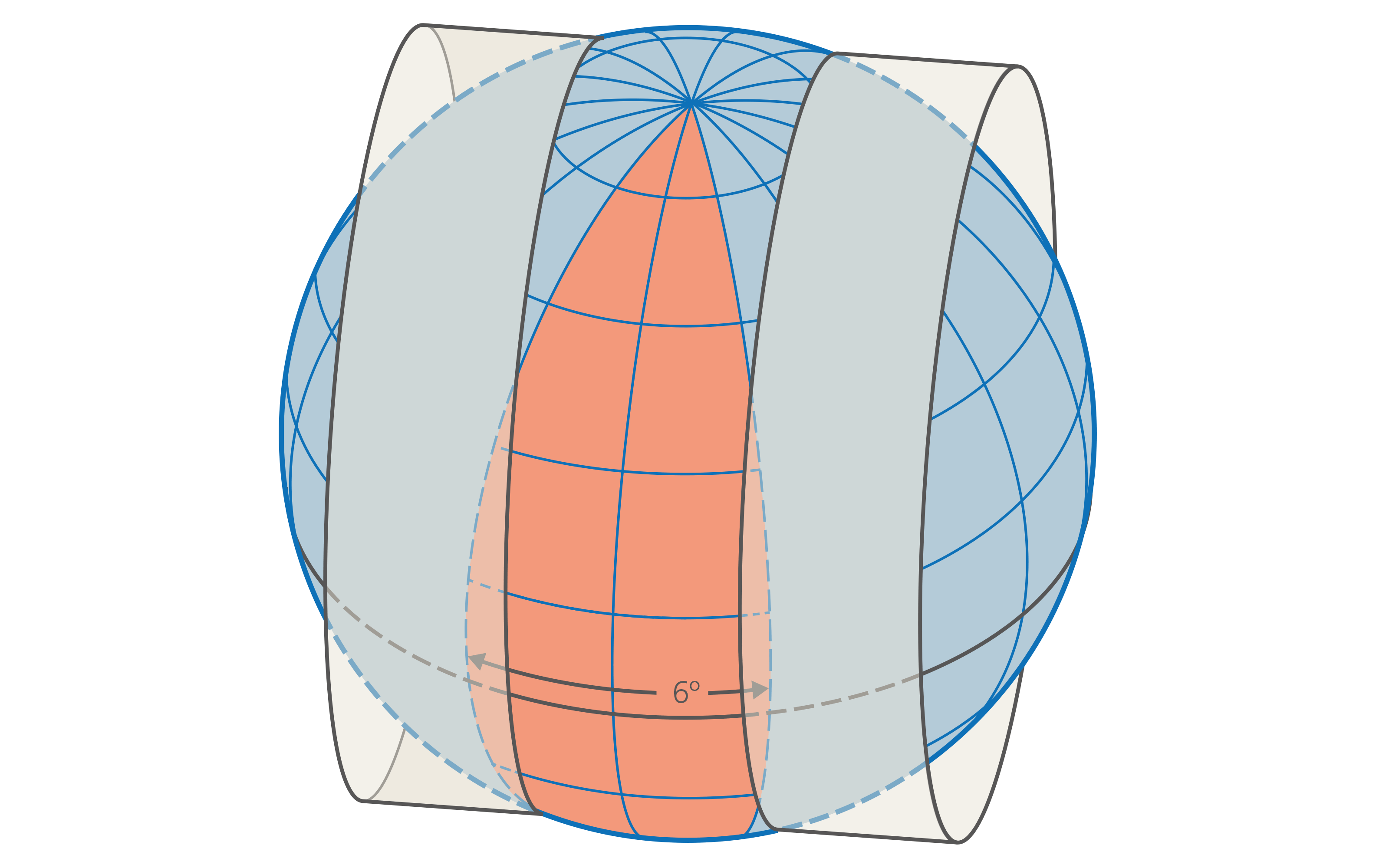
For the map representation of large areas of the Earth’s surface, specific projections are used that subdivide the planet into strips (zones) within which distortions caused by the projection remain limited. The UTM projection is a frequently used representation, applicable worldwide. It divides the Earth’s surface into 60 zones extending from one pole to the other, each covering 6 degrees of longitude. The projection within a zone corresponds to a conformal cylinder projection with the axis of the cylinder in the equatorial plane. Almost all of Switzerland is covered by UTM zone 32, whose central meridian has a longitude of L = 9° East. To be strictly accurate, the western part of the canton of Geneva is covered by UTM zone 31, whose central meridian has a longitude of L = 3° East. However, its use is not recommended for Switzerland.
Federal Office of Topography swisstopo
Seftigenstrasse 264
3084 Wabern