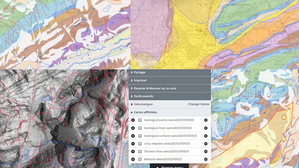
swissGEOCOVER2D Update September 2026
The structure of the swissGEOCOVER2D (new name for GeoCover) datasets on map.geo.admin.ch has been improved to enhance the digital experience (e.g. when used in combination with other data). You can now individually select the six layers that make up the swissGEOCOVER2D product, which covers the whole of Switzerland. The former layer “GeoCover – Vector Datasets” is still visible on map.geo.admin.ch but will be deactivated on 30 November 2026.