

Journey through time SWISSIMAGE
New historical images are available in SWISSIMAGE's “journey through time.”
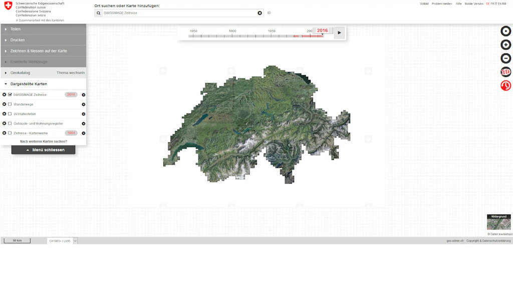
Aerial photos taken between 1997 and 2001 have been processed and added to Swissimage's journey through time. Among them are the special photos taken in 2000 to assess the damage caused by storm Lothar.
View on map.geo.admin.ch
Add the “SWISSIMAGE Journey through time” layer and activate the “Journey through time” feature by clicking on the clock to the right of the map viewer (need help?). The timeline slider will appear, allowing you to select a specific year. The most recent set of images available for all of Switzerland on the selected date will then be displayed.
By adding the “Tiling SWISSIMAGE Journey through time” layer, you can highlight the images corresponding to the specified year.
Also available as a geoservice
The “SWISSIMAGE Journey through time” and “Tiling SWISSIMAGE Journey through time” layers are available as a WMS service and a WMTS service of the Federal Spatial Data Infrastructure (FSDI).